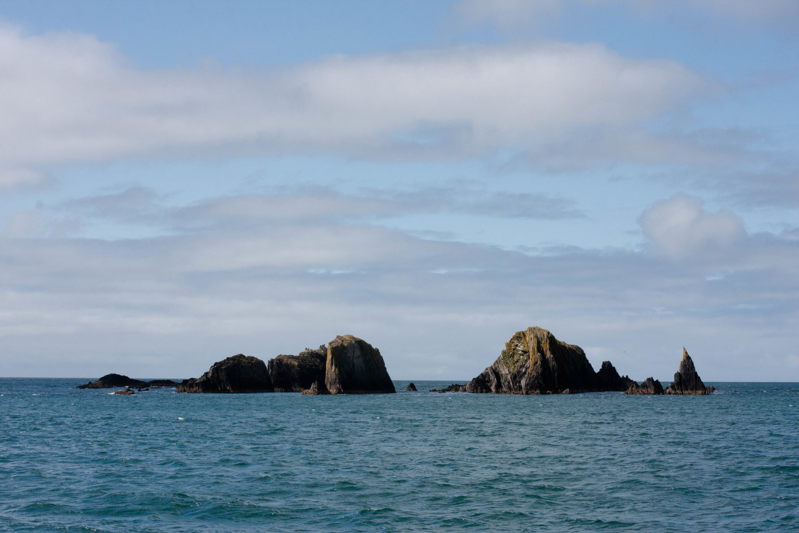
Coastal navigation is largely about respecting the rocks. Not the pebbles that you can pick up and throw, more about large blocks projecting from or lurking beneath the surface. They are everywhere and in Western Europe they are not necessarily tied in to the beach. They randomly show up anywhere or out in the middle of nowhere offering to ruin your day or sink your boat.
A “sunken” rock might be the worst, it is the one that lurks just below the surface. Sometimes you can see visible signs on the water, a change in the motion or texture of the ripples, an ominous indication of the hidden monster. Another term is “awashed” or “rocks that wash.” These break the surface to some degree. Sometimes, depending on conditions, heard before seen.
One nearby coastal feature we had the opportunity to sail past is called the Old Head of Kinsale, a dramatic cliffy outcropping along the shore with caves cut deep into it. Here on the 22nd of June, 1892, a master of the steamship City of Chicago ran into the Head in foul weather but famously kept the boilers running on the doomed vessel, keeping it driven into the rocks so that all of the passengers and crew could scramble to safety above the cliff and crashing surf.
Here also nearby is the wreck of the passenger vessel Lusitania. With 1,193 souls lost on the 7th of May, 1915. Famous for being sunk not by rocks.
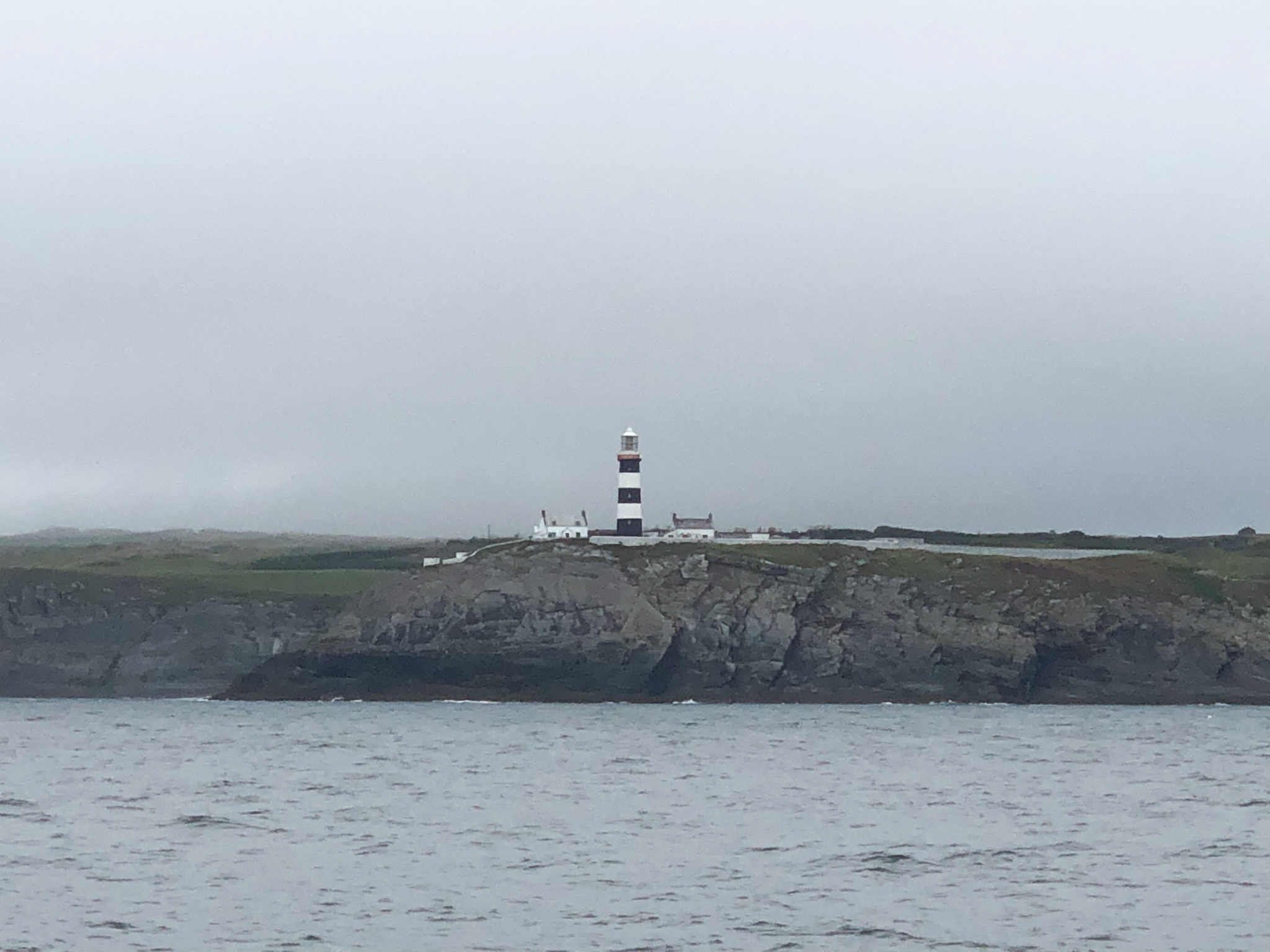
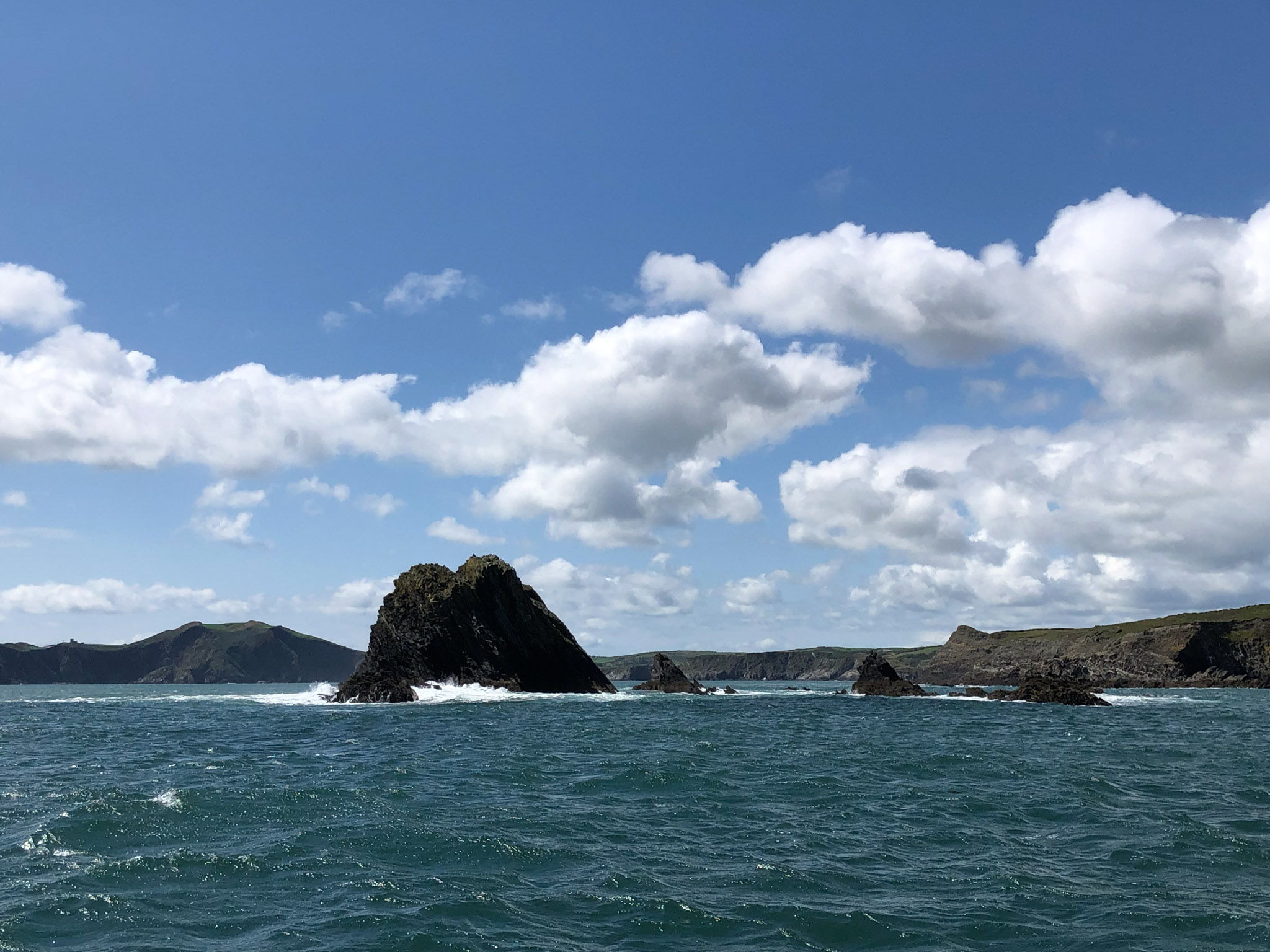
Nowhere have we observed better deployed or maintained Aids to Navigation. These are the marker buoys, shore signs and light tower or light houses. They are everywhere and they impressively describe a constant litany of hazards to passing vessels. Because of the rugged coastal environment and the extensive history of shipping and fishing in these waters, it is easy to be reminded of why so much attention has been put into marking ways of safe passage. The shipwreck symbol is frequently seen on the charts.
Cardinal markers are commonly employed in Europe so we learn about those, buoyage that marks the borders of a hazardous area (more rocks basically) by specific east, west, north and south symbols. These have corresponding flashing light codes to be identified visually at night, which is pretty cool. Also present are sectored lights, displaying not only a light sequence but different colors based on magnetic compass bearings to the light. There is a big variety of light aids, not just flashing, but long flashing, group flashing, composite group flashing, quick, interrupted quick, very quick and even ultra quick. A more exotic version is occulting lights where the duration of light is longer than its absence. This is all reminiscent of the codes of aviation visual aids at and about airports, a whole language of symbols intended to keep craft on course, in safe areas and away from hazards.
Boarded!
On the 14th of August 2021, while close reaching westbound a few miles offshore, we were boarded by the Irish Coast Guard, or Customs & Immigration. The weather was blustery with low clouds, rain, and patchy fog force five conditions. No nearby targets for miles. Randy had just gone below to lay down and Diana was in the cockpit, when suddenly she heard an engine over her left shoulder. She whipped around to see a RIB coming towards her at full speed with three commando-types on board, waving and suggesting that we would be boarded. Randy was surprised to hear Diana talking to someone (?!?) in the middle of nowhere, and rose to take a look. A nearby cutter had deployed the RIB (synonymous for rigid hull inflatable boat) which had come alongside with the tactically costumed, albeit very friendly, crew.
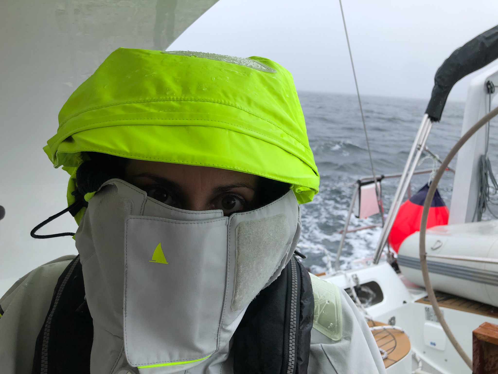
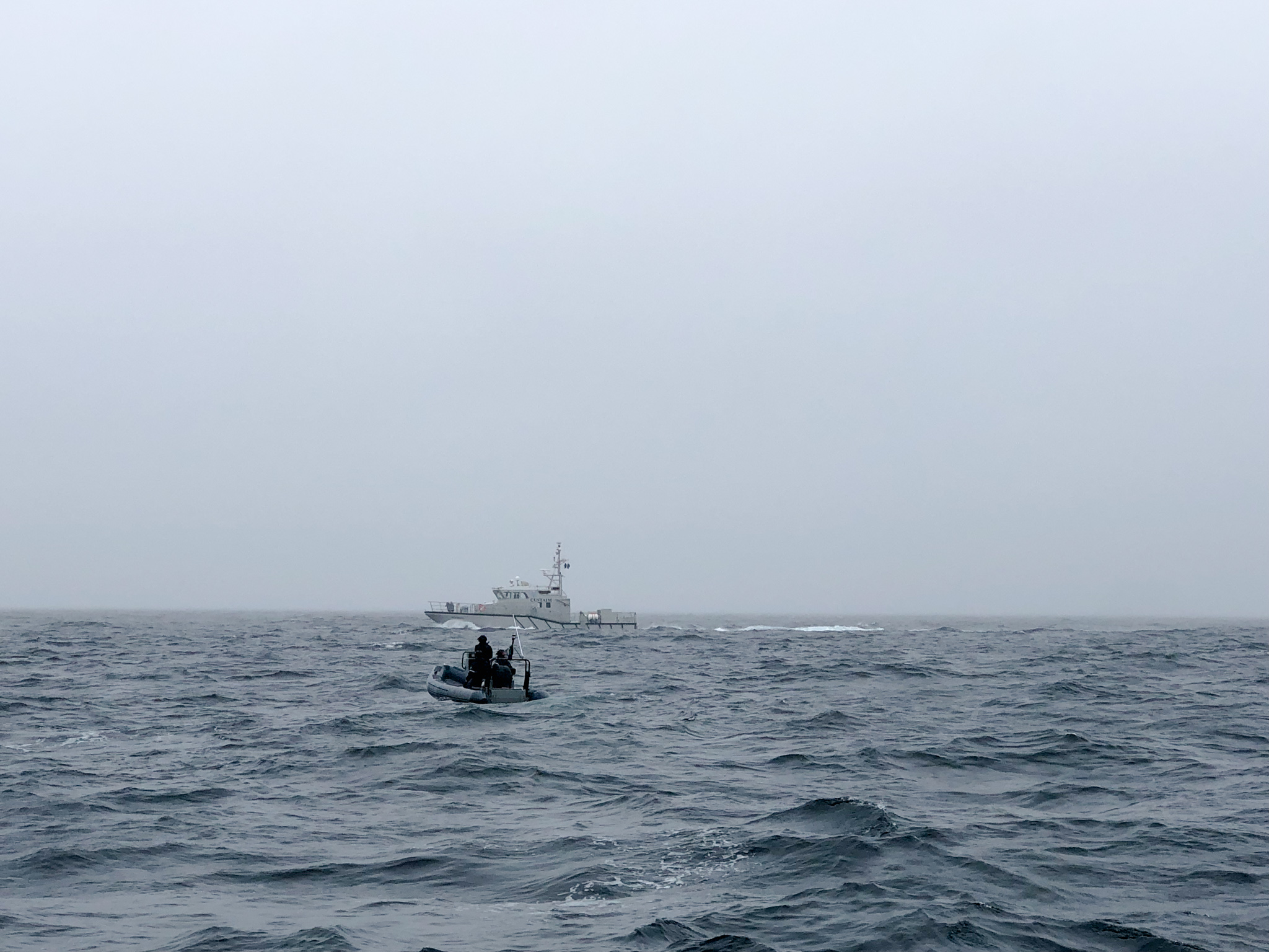
All but “asking” permission to board, the RIB pulled up alongside our boat as we were going full speed. Large waves made things awkward, and Diana watched rather helplessly as the first agent grabbed the lifelines and nimbly pulled herself up. (Yes, a she!) The only female aboard their craft jumped aboard and sat down on deck. Diana really wanted to give her a high five, but managed to resist and instead squeaked out a “wow! you GO girl!” with a big grin, to which the agent giggled. We sat together and watched as the second, much younger dude attempted to get on board and failed miserably. At one point he had one leg caught in our lifelines and the other still on board their RIB while both boats were moving at about 6 knots and bouncing up and down with 1-2 meter choppy waves – it was very close to a man over board situation. Everyone decided perhaps it was best to let the woman operate solo while the RIB stayed nearby. We asked if they’d like us to slow down, to which they replied “sure, that would be great” and we hove to, for a much more civilized experience.
Meanwhile we offered our representative a cup of tea which she politely declined. She pulled off her black commando gloves and exposed bright pink glittery nails, as she pulled out a soggy notepad and began taking notes. (We commiserated on the lack of proper equipment, apparently budget cuts prevent agents from being able to use waterproof notepads). After poking around the ship’s papers she asked us if we were carrying any drugs or if we had been asked to carry any drugs, and even “do you wish you’d ever been asked?” with a wry grin. Apparently they get run up into Ireland from European places south? Probably not through Greenland, at least. She also seem bemused that we were out boating in miserable conditions for pleasure.
We commended her again for her prowess and noted how her younger grass-fed crew had failed in boarding. She shared that she was not only the only female but also the oldest member by quite a lot. Diana was fast developing a girl-crush and was sad to see them leave. Strangely, there was no actual inspection of the interior of the vessel – just questions and note taking. The whole incident was amusing, which is often true of Coast Guard boardings, assuming you are not carrying illegal drugs. In the States, we call this an invasion of privacy because, unlike on land, the Coast Guard does not need probable cause to search you, they just do it as common practice.
Castlehaven
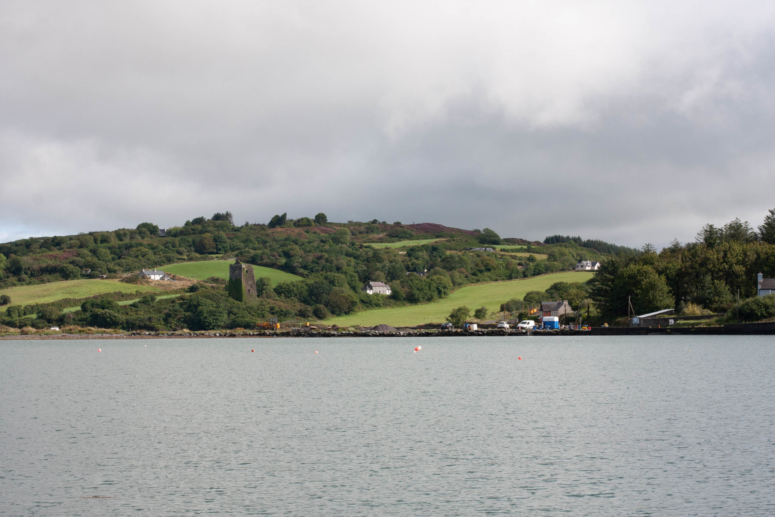
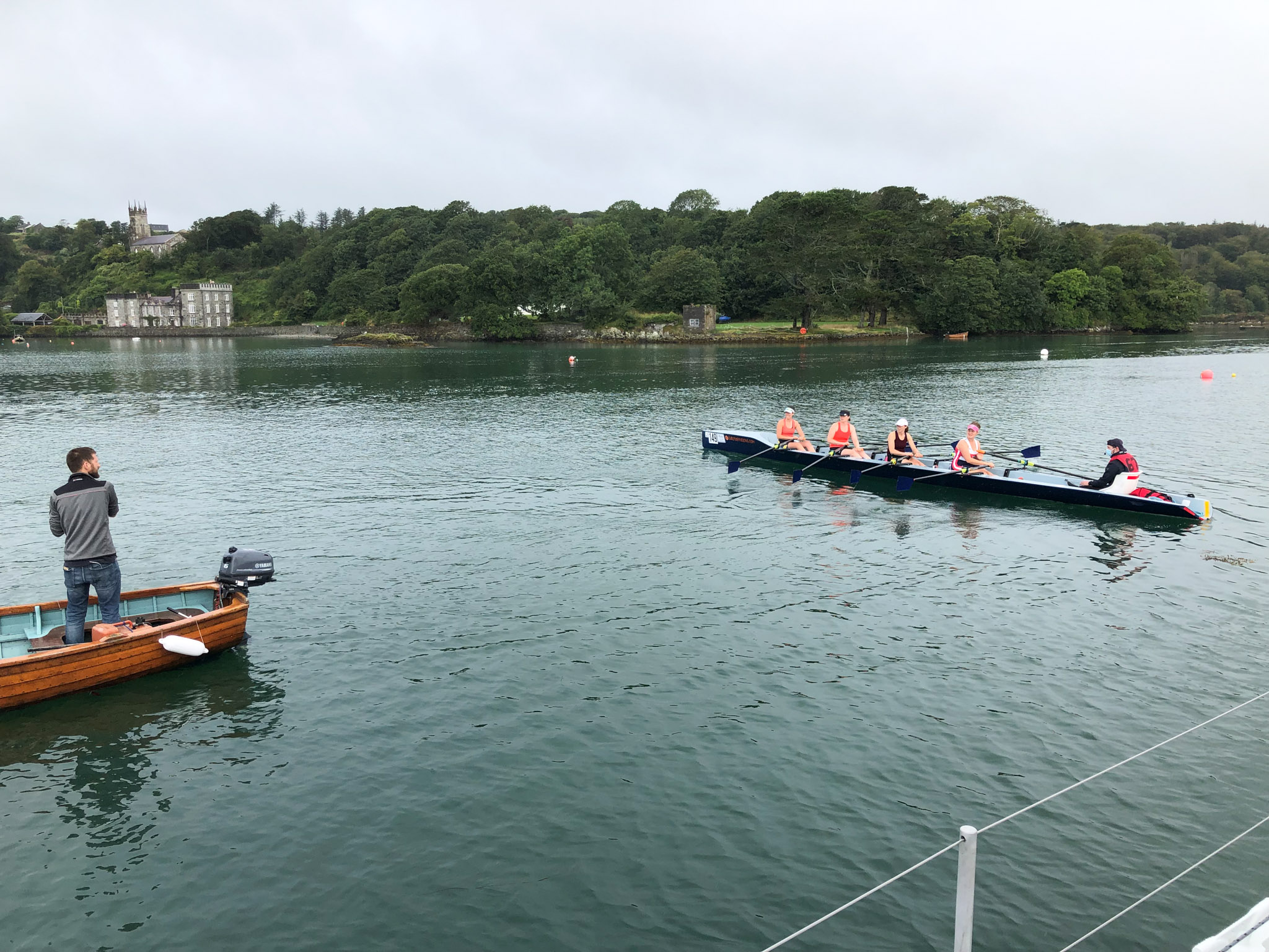
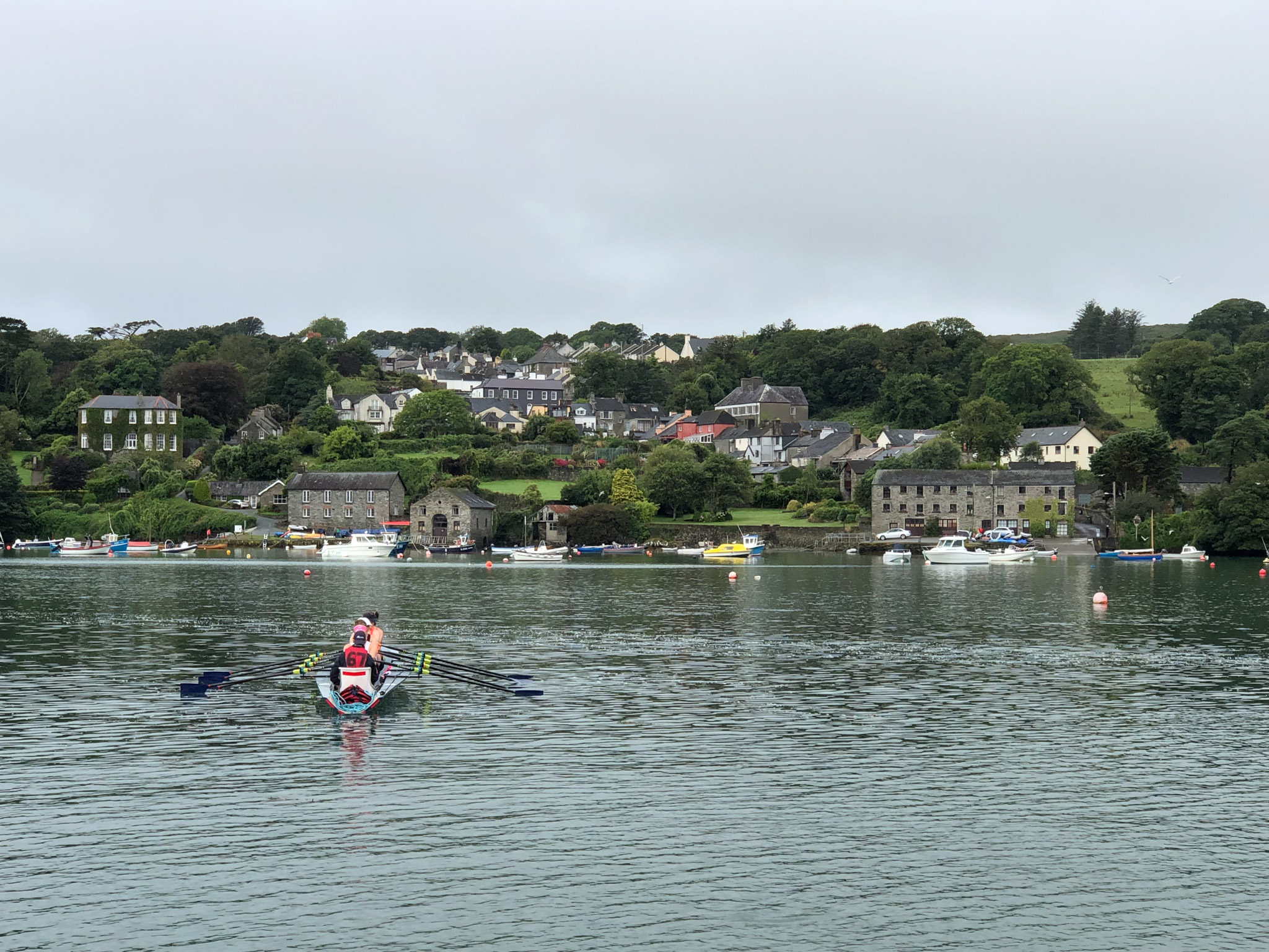
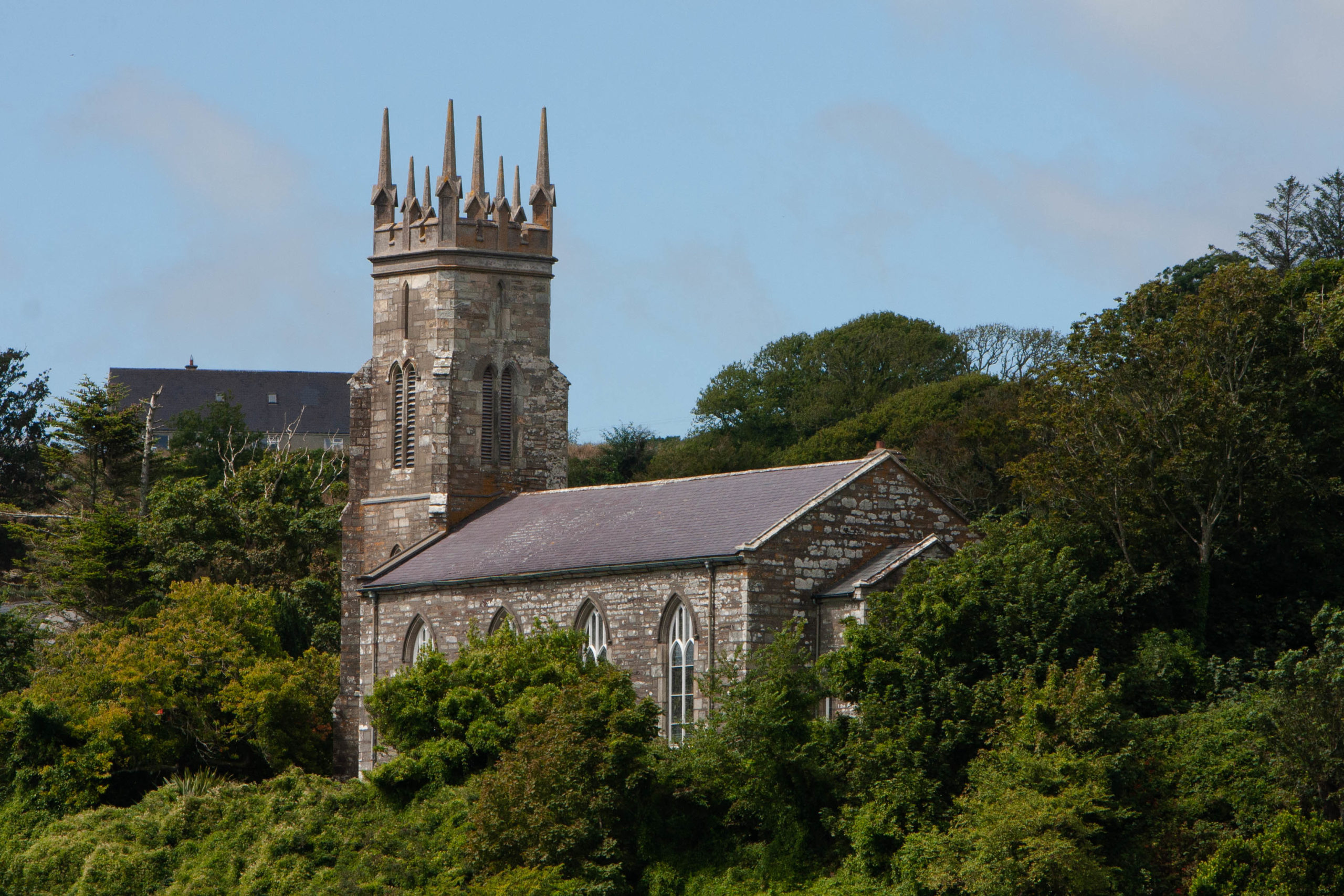
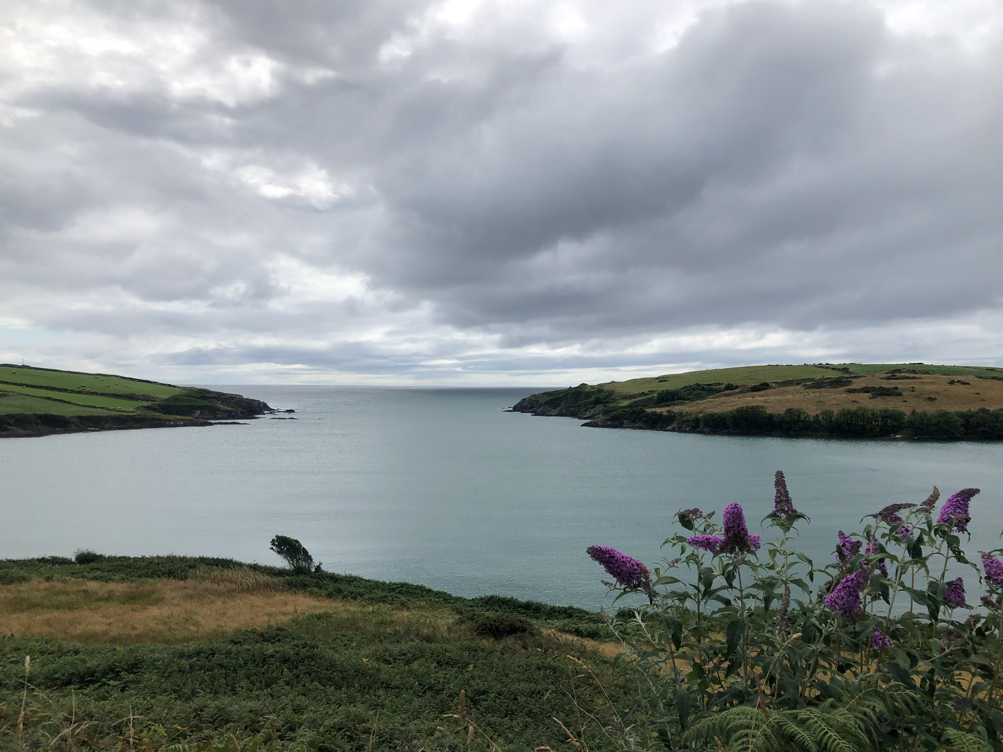
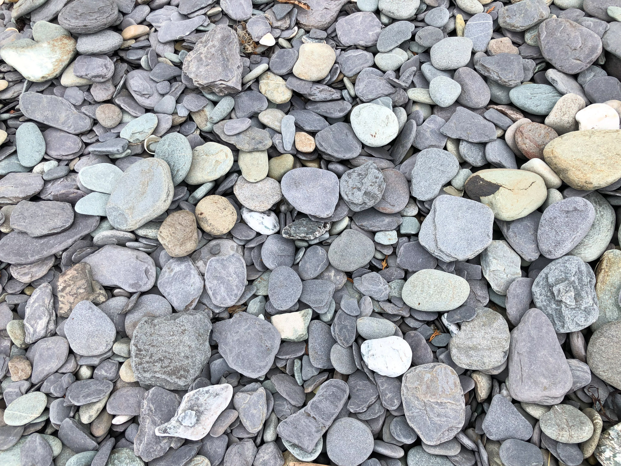
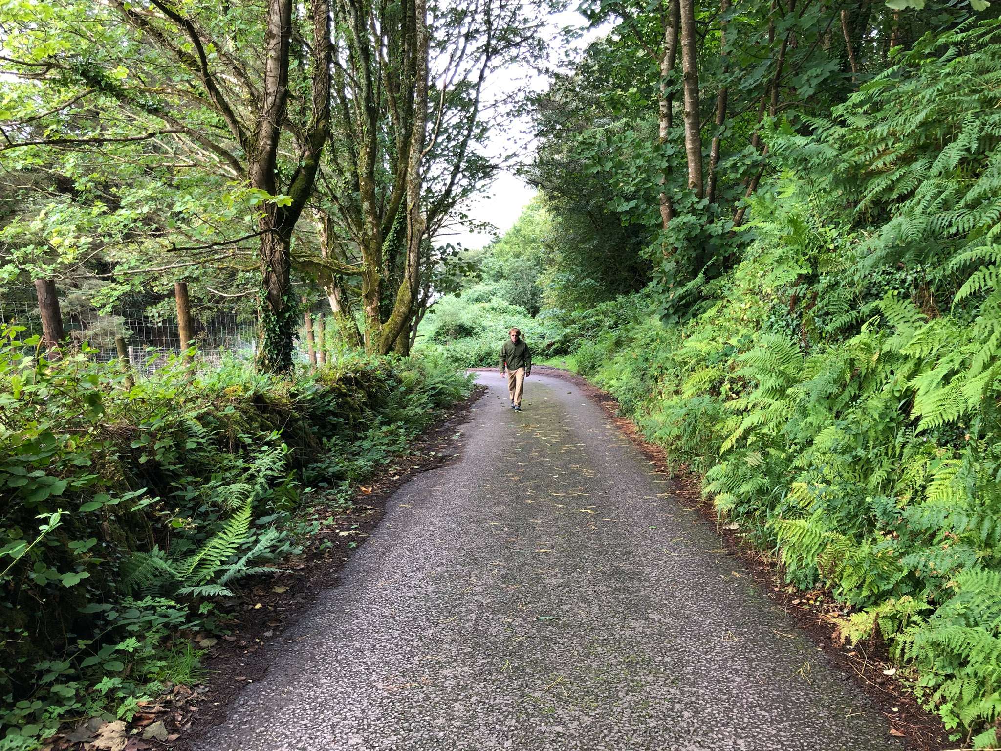
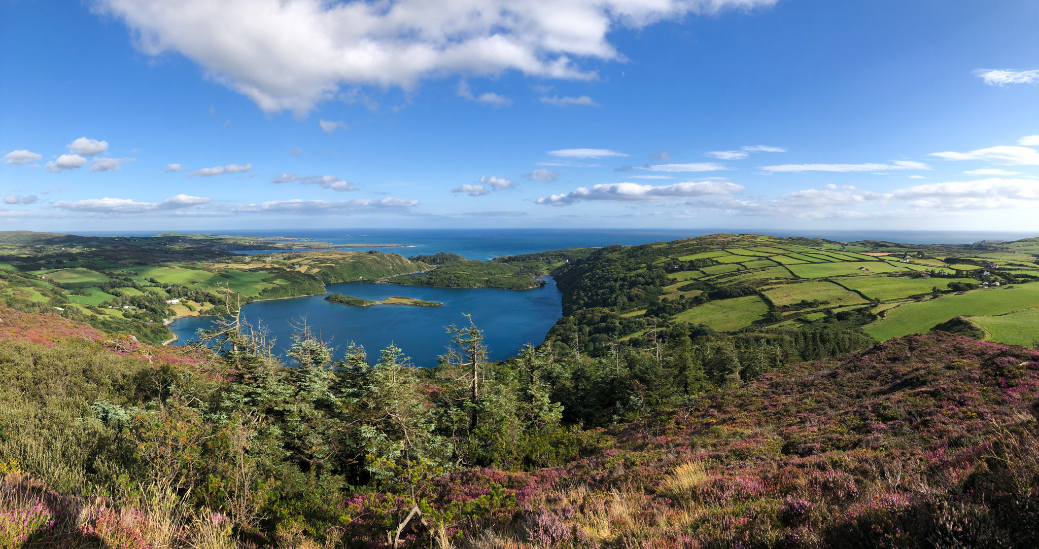
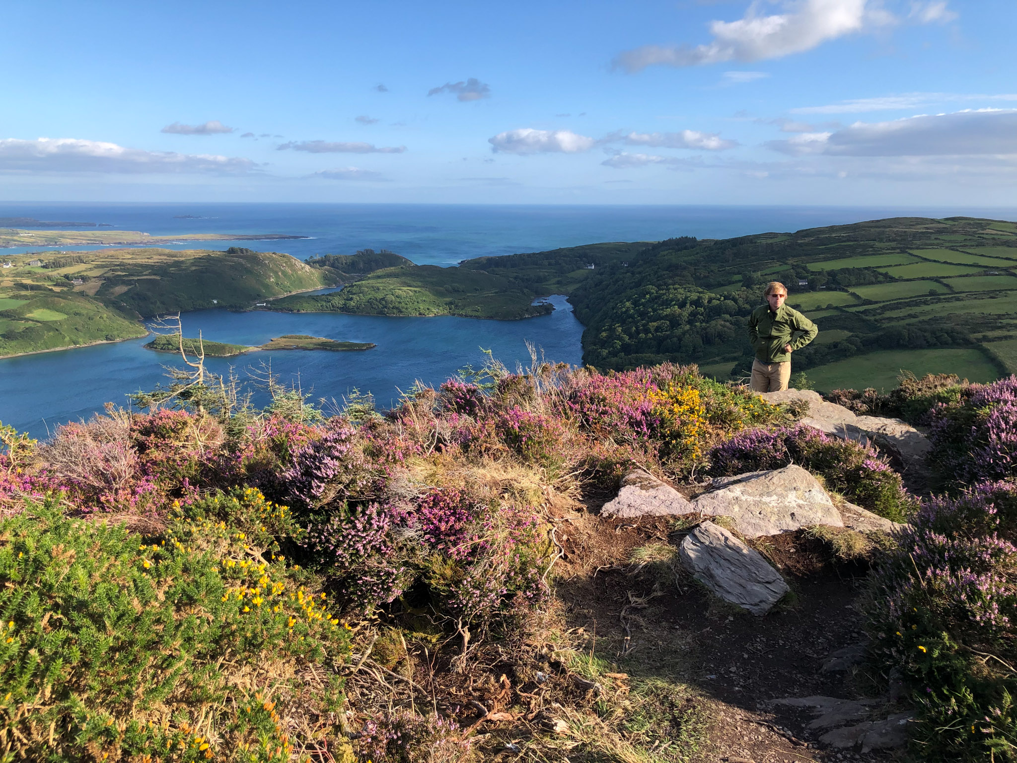
Shortly after the boarding, we decided to get out of the weather and pulled into a tidy little inlet called Castlehaven with accompanying town Castletownshend. We didn’t explore town too much, but did go for some walks in the nearby hills before moving further west. We’ll let the photos do the talking here.
Barloge Creek and Lough Hyne
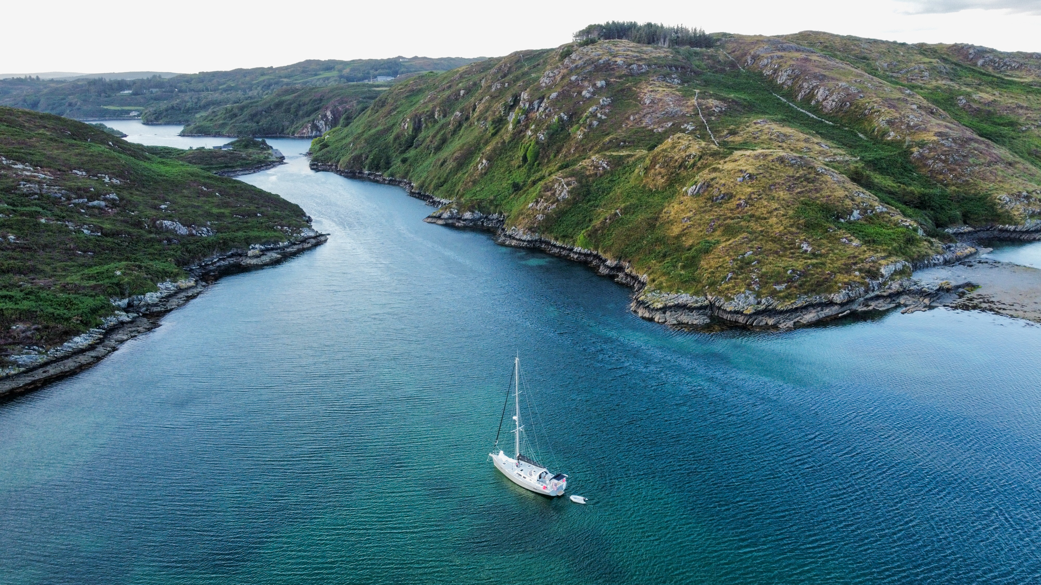
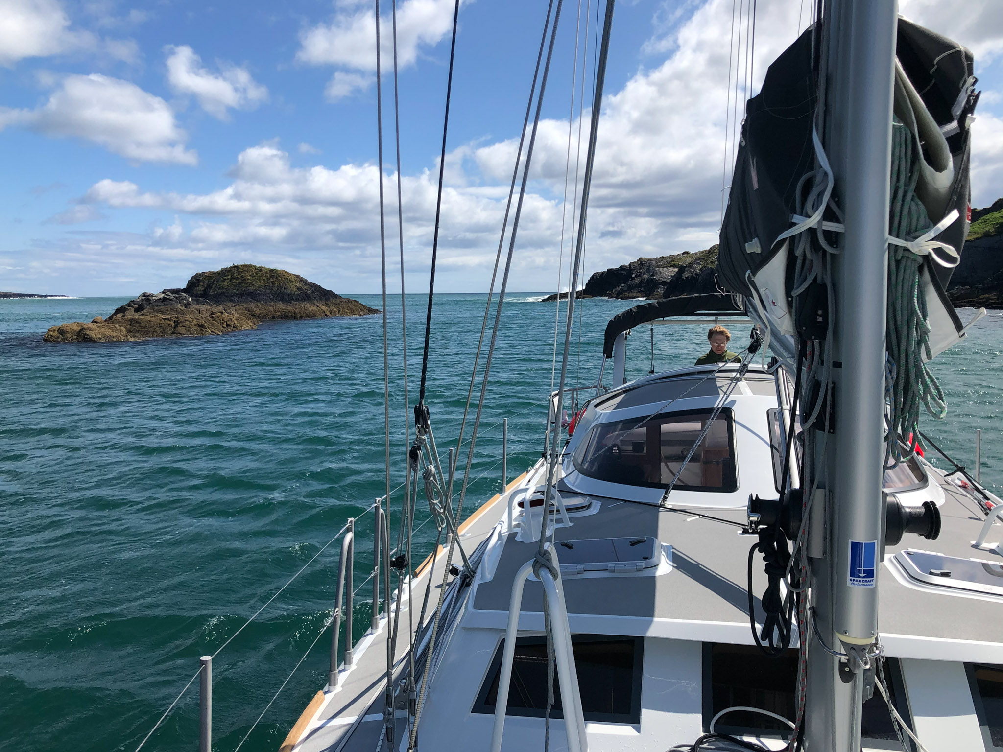
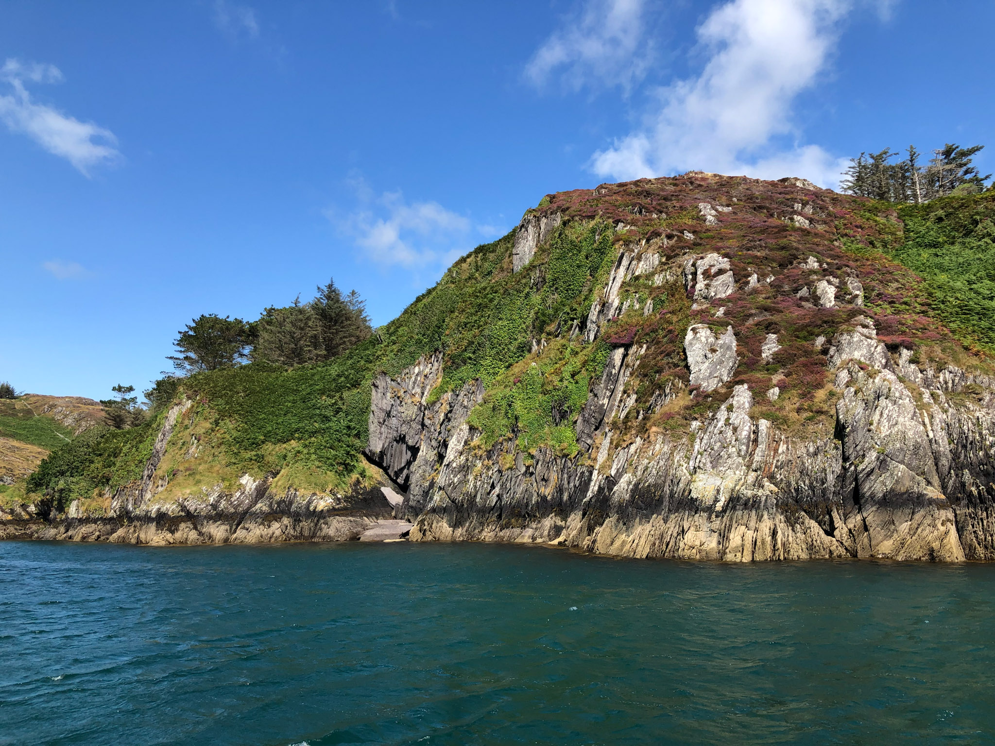
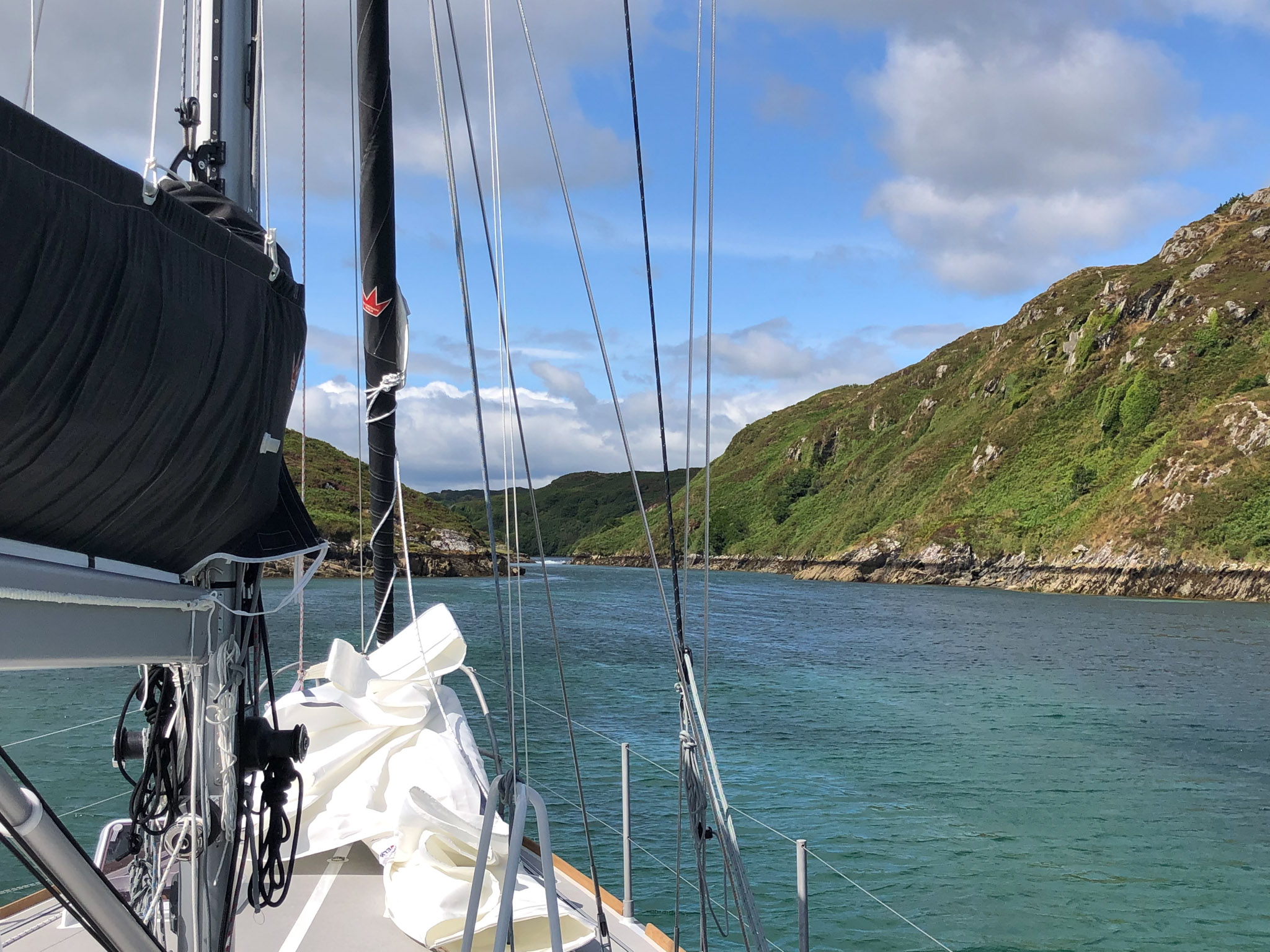
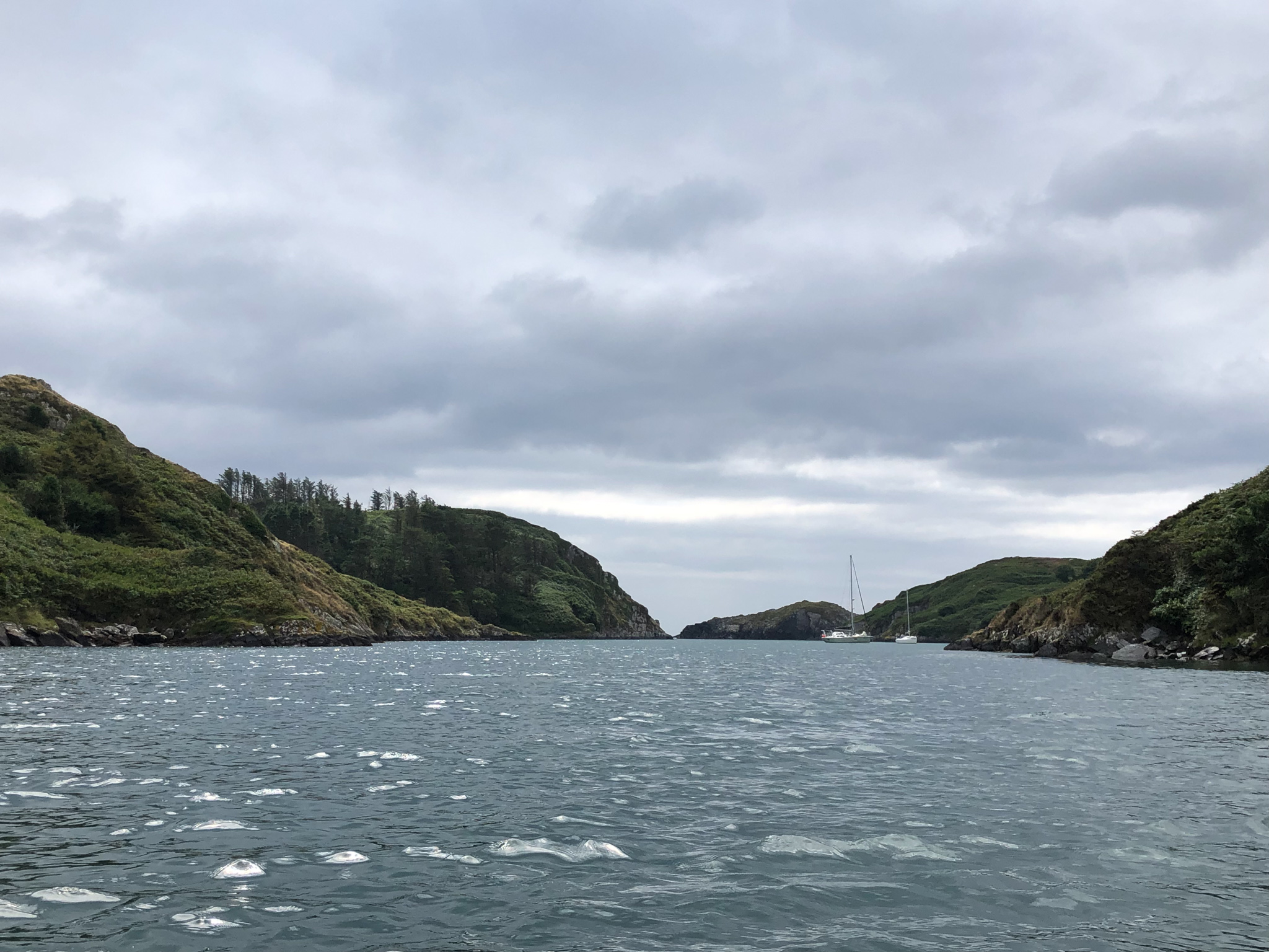
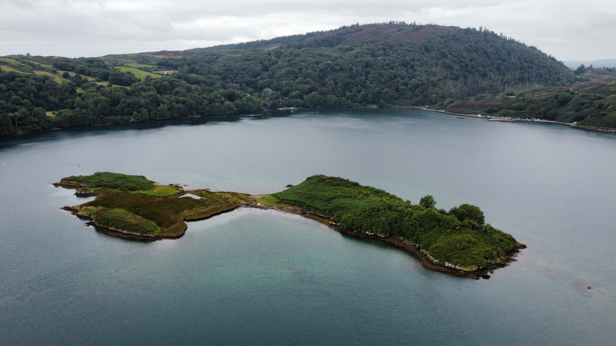
We pulled into Barloge Creek, a narrow estuary with an inner lagoon that floods on the high tide and flushes through a rocky creek at low. The entrance presents itself as a tiny cleft in what looks like a wall of rock on approach. In our pilot guidebook, distances are described in cables. It turns out that a cable is something like 200 meters or 200 yards or 1/10th of a mile (Statute? Nautical?). The implications of a cable’s distance can be distracting when nervously driving a new boat close to rocks in unfamiliar waters.
The “creek” is a tidal rapid, which fills an inner lagoon (Lough Hyne) of impressive depths. It is an ecological wonder and includes a full-time scientific post to study its marine life and ecosystem. We met a scientist and his family as they swam the rapids as the tide filled the lake, and he mentioned such things as unique salinity, PH levels, and temperature. The depth of the lake (50m) as well as its small size created a near replica of deeper water locations farther out at sea. You can read a bit more about it here. We spent a couple of days in this unique, beautiful spot, hiking a nearby hill and taking the dinghy in to the lake through the rapids (fun!). We weren’t feeling hardy enough to swim, though we did see several people in wetsuits braving the cold water. This theme continued on through Ireland – we were impressed to see how many people were out in and on the water no matter the conditions. It was August, after all.
Wow, you two! What a terrific adventure you’re having. Now I’m thinking I need to add Ireland to my bucket list. I’m really enjoying both the photos and the accompanying commentary. Thanks for sharing the experience!