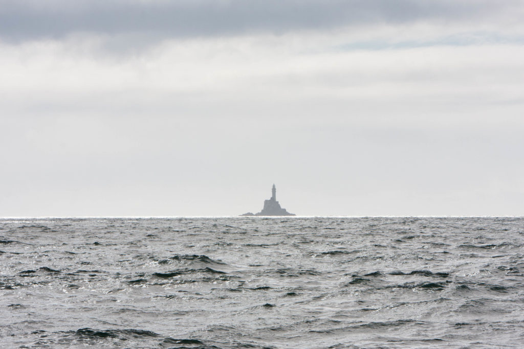
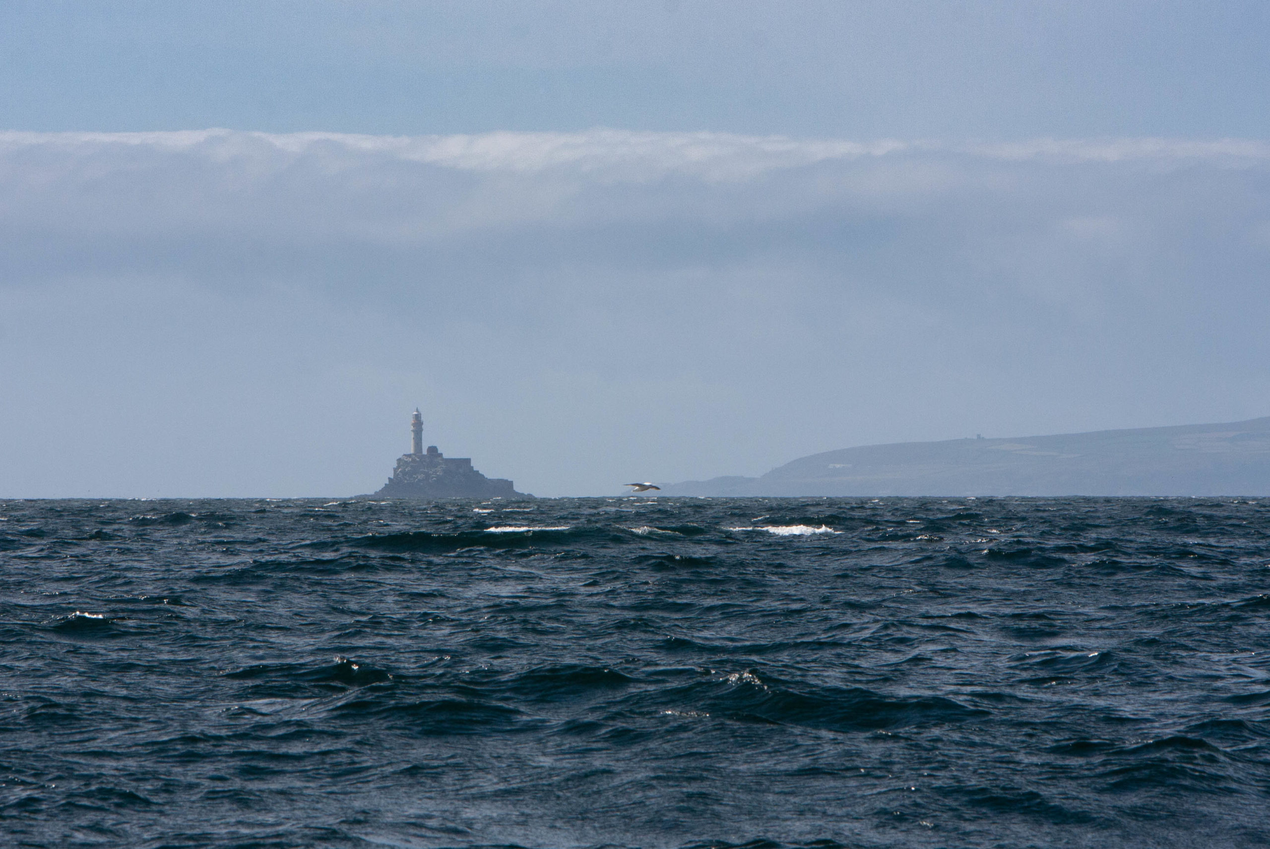
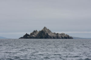
We both were pretty excited to see the famous Fastnet Rock, which we finally caught a glimpse of on August 16. Unfortunately we had just missed the spectacle of the annual 700 nautical mile sailing race which bears the same name, which starts and ends back in the English Channel, turning the rock as the far mark. We could have planned that better…
On this occasion, we find ourselves yet again beating to weather westward, trying to gain around the very south end of Ireland. Just to be clear, we got underway late (no early morning risers on this boat), but by late afternoon with winds over 25 kts in front of us and the sun getting low, we were tired of getting beat up and so started motor sailing to get above Cape Clear Island and then across Long Island Bay (not the Long Island you are familiar with) where we tucked into a nondescript anchorage for the night.
Crookhaven
The next morning we made the short hop to aptly named Crookhaven, a tiny long anchorage carved into the shoreline protecting from the west. This is often the first landing spot for boats coming from the US and Canada’s east coast to Europe.
We kept our eyes peeled for Wally the Walrus (who, as it happens, appears to finally be on his way home – spotted in Iceland in September). We did not see him, though a lucky boat behind us apparently had him swimming alongside for a while.
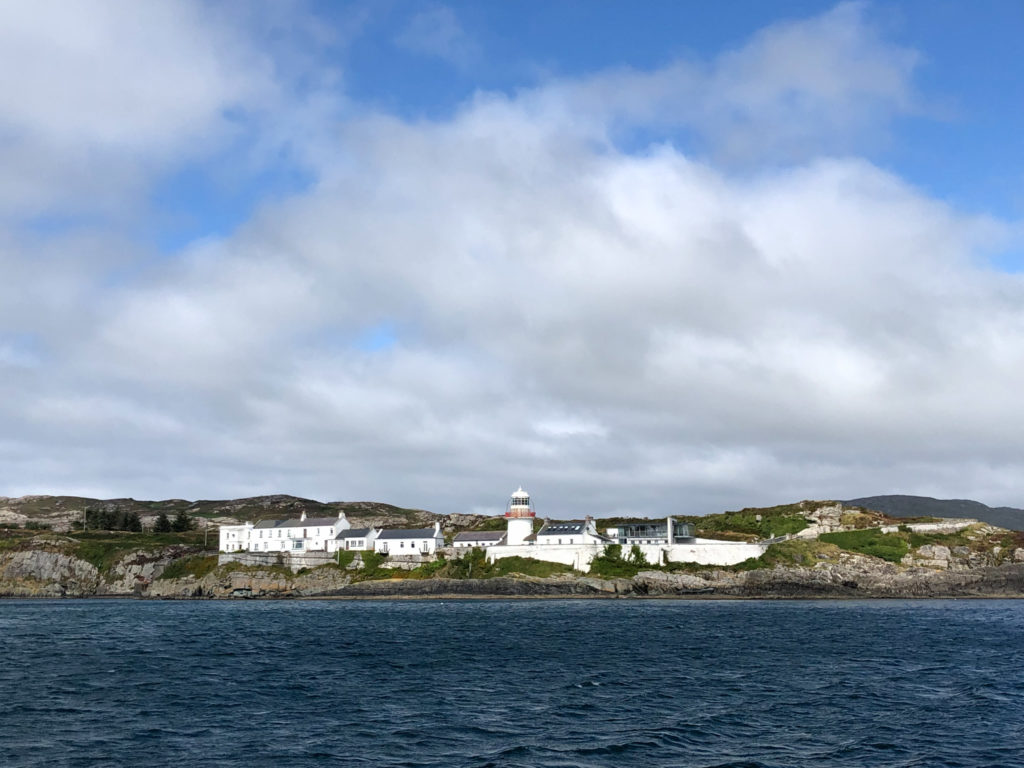
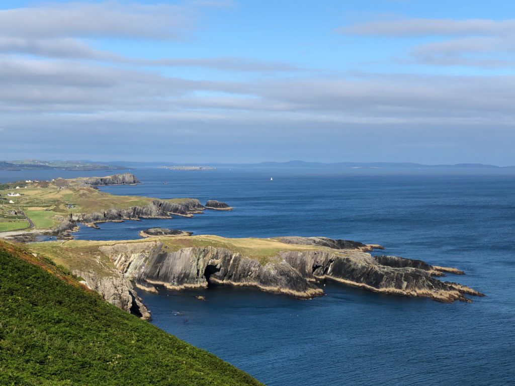
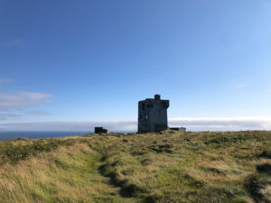
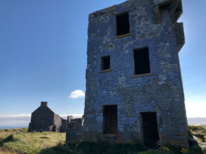
Once settled in Crookhaven, we hiked ashore up to a high overlook (with the ruins of a watch tower, of course) where we could gaze across southeast to Baltimore (for which the US city is named after the Lord of this town), southwest to the Fastnet rock, and northwest to our intended direction of travel. Very scenic.
The Bull, the Cow, and the Heifer
On the morning of the 19th of August, a light wind allows us to gain miles by motoring. We cover some ground in ten hours, glossing past recommended places that are deep in the inland sounds, deciding instead to skirt along the coast with our limited time.
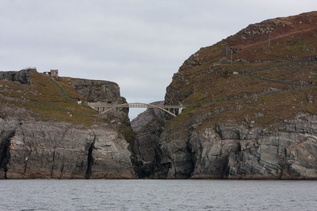
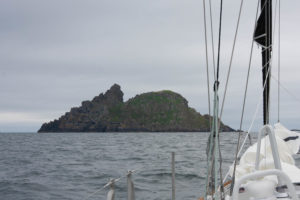
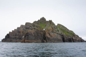
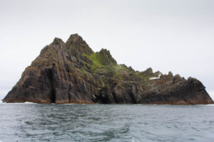
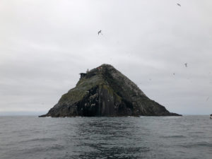
Dramatic large rock islands several miles offshore come into view as we pass by a bovine-themed group, the “Bull”, the “Cow”, and the “Heifer” (or Calf). With the lack of wind, we are able to get up close and personal with these interesting rock islands, home to huge flocks of birds and at one time, some humans. Click on the images below to spin through the gallery. Note the iron stump on the Calf (Heifer), which is what remains of a lighthouse that washed away in a storm in 1881. It’s an interesting story – you can read more about it here.

The Calf, with the remains of a lighthouse that was washed away in a storm 
The Cow 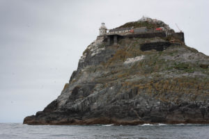
Last but not least, the Bull, with the “new” replacement lighthouse. 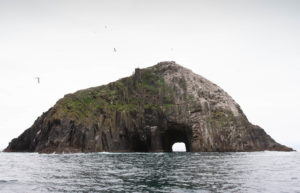
Bull Rock and the “Entrance to the Underworld” 
You can see the remains of old dwellings here. It is hard to believe that people inhabited this place. 
Birds on a shelf.
The Skelligs – for the Star Wars Fans
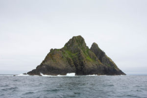
As we continue to motor along in calm conditions, we encounter the Skelligs, more rocky islands which are rather jaw dropping as we get closer. There are nearby washing reefs (Charted as “Washerwoman Rock”) keeping us sober in our navigation. The consequences of a mistake in routing here are profound.
Great Skellig or “Skellig Michael” has a big lighthouse looking seaward but it is also famous for being the site of a largely intact Gaelic monastery from the 6-8th century. It is even more famous recently for being the site where Luke Skywalker was filmed in hiding, sulking away while his friends and the rest of the Galaxy suffered at the hands of the evil Empire and that dipshit son of Han and Leia’s in the last installment of Star Wars. Looking at the topography as we passed by, I have no idea how Rey possibly landed her X-Wing fighter there but she was pretty badass, and that obviously can’t hurt.
We would have loved to go ashore on this island and take in these sights but August is the height of tourist season and, even in COVID times, there was a steady stream of little local passenger boats motoring out from the mainland and the ancient trail carved in the cliff side up from the landing place was busy with people like a trail of ants climbing upwards. Adding to this, there is nowhere safe to moor a boat in these waters. The appropriate thing would be to go to the nearby town and sign up for a ride out in a tour boat, not compelling. So we satisfied ourselves with motoring close by.
Valentia Island
We ended the day moored at Knightstown, Valentia Island, another very active aquatic community. We stayed there for two nights to wait through some more weather – one night at anchor and one on the docks. On both days there didn’t seem to be a moment where the water wasn’t teaming with wetsuit-clad children scooting around in small sailboats, kayaks, or swimming in the cold and blustery weather. Our boat was continually getting buzzed by giggling kids – one of them even hit our boat with an embarrassed “sorry!” It was pretty entertaining. 🙂 We boring adults simply took a walk on shore (our common practice). It was also another great location for practicing with the boat – docking was available at every angle to the wind, so we took advantage and confused the locals when we denied their offers to help us tie up.
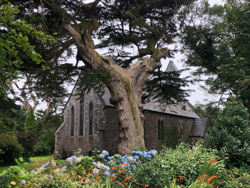
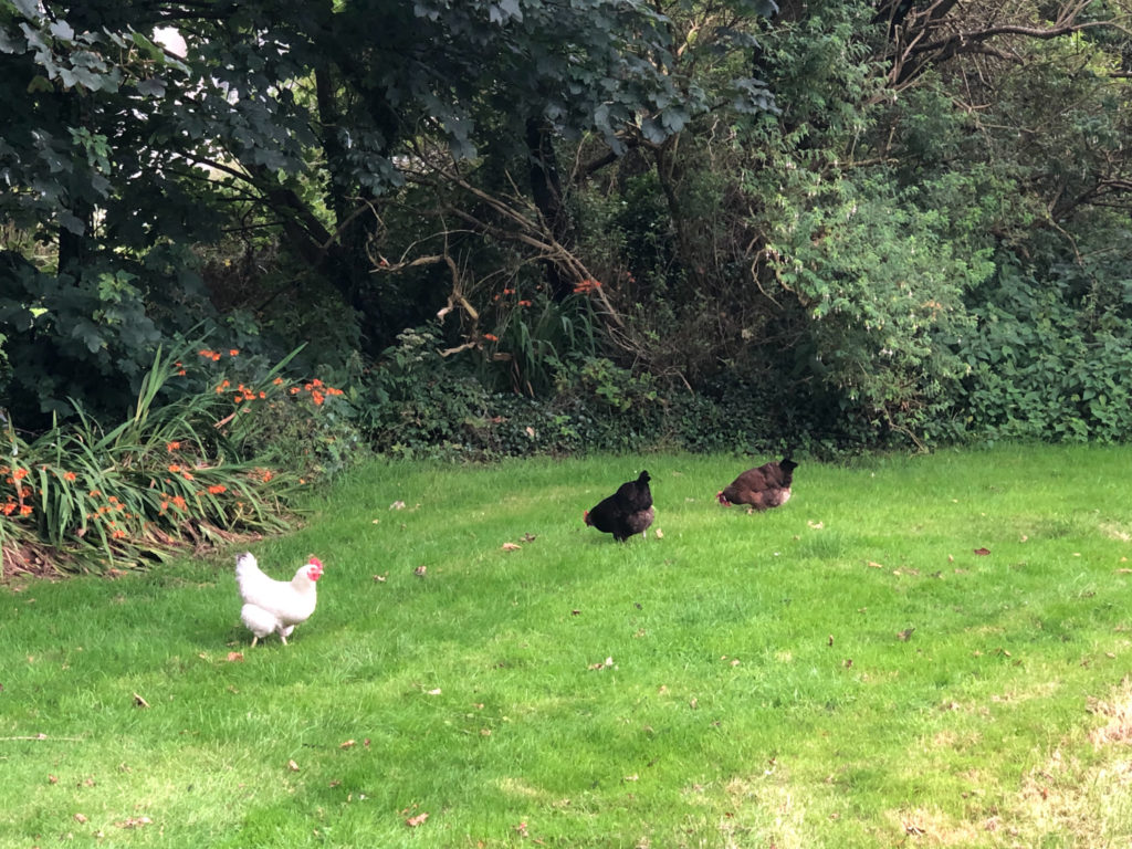
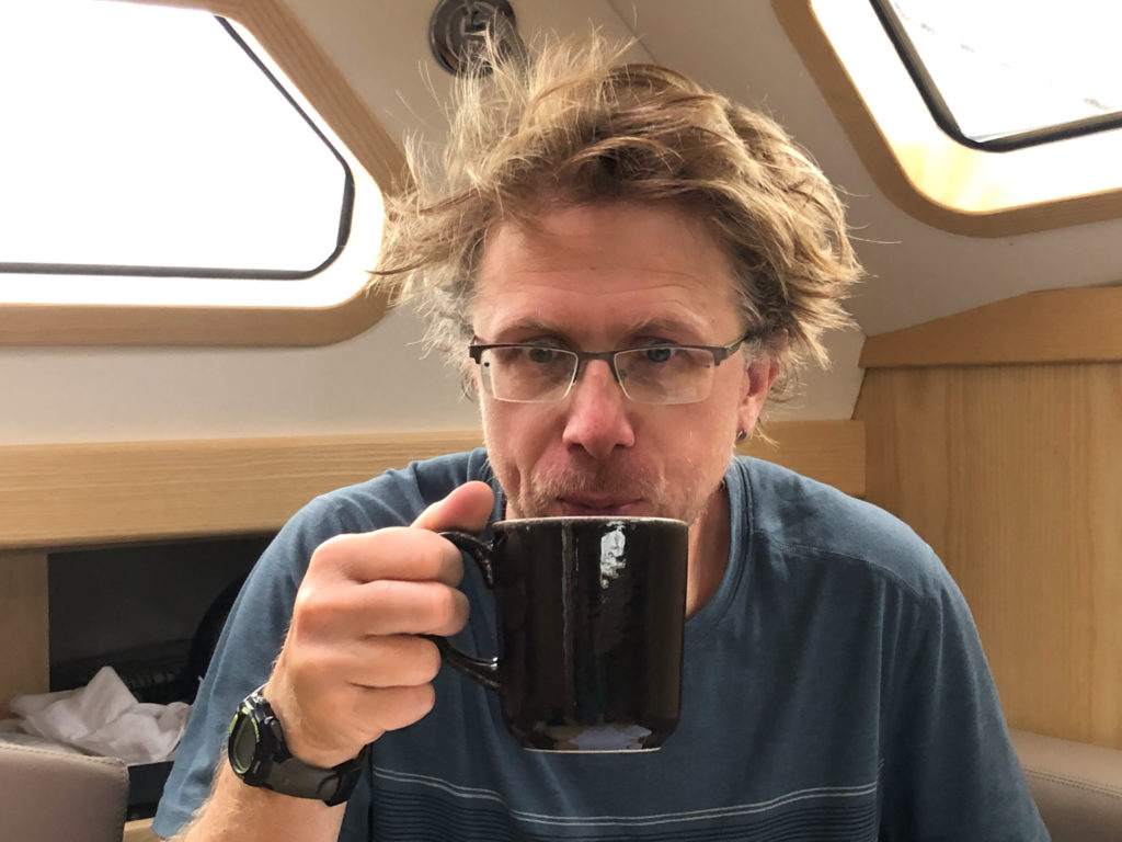
We present you with The Great Tea Slurping Wars of Randonnée…





The dialogue and photos are excellent, allowing to relive some of your thoughts, sights and moments. Thank you for sharing these gems from your adventure. Wishing you fair winds and smooth seas! 👍
Somehow missed the last three installments, so I binge-read them. THANK YOU! Love the humor and the opportunities for vicarious living . . . Would encourage everyone to google map the places (or for you two to drop a dot on a map in a pic), definitely adds to the reading!