For anyone that has an interest into the technical aspects of navigation, running your boat at night can be a fun and engaging activity. It can also test your nerves as the darkness impedes the primary sense of vision leaving your imagination to fill the void.
As our time in Ireland was closing, we turned our bow back south and east, taking advantage not of favorable weather but more the absence of unfavorable weather. It was calm seas and motoring. The diesel purring away and no traffic to speak of.
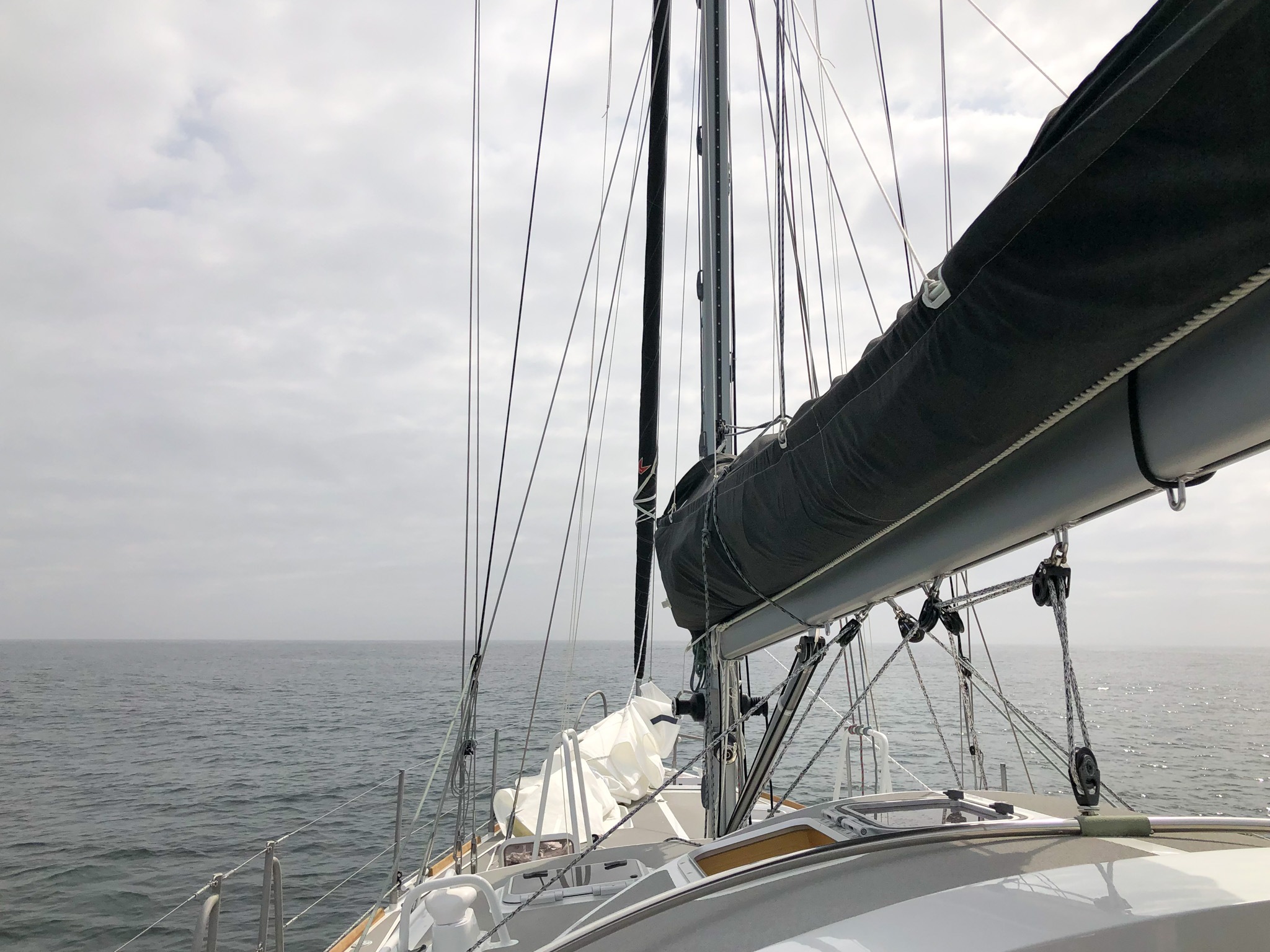
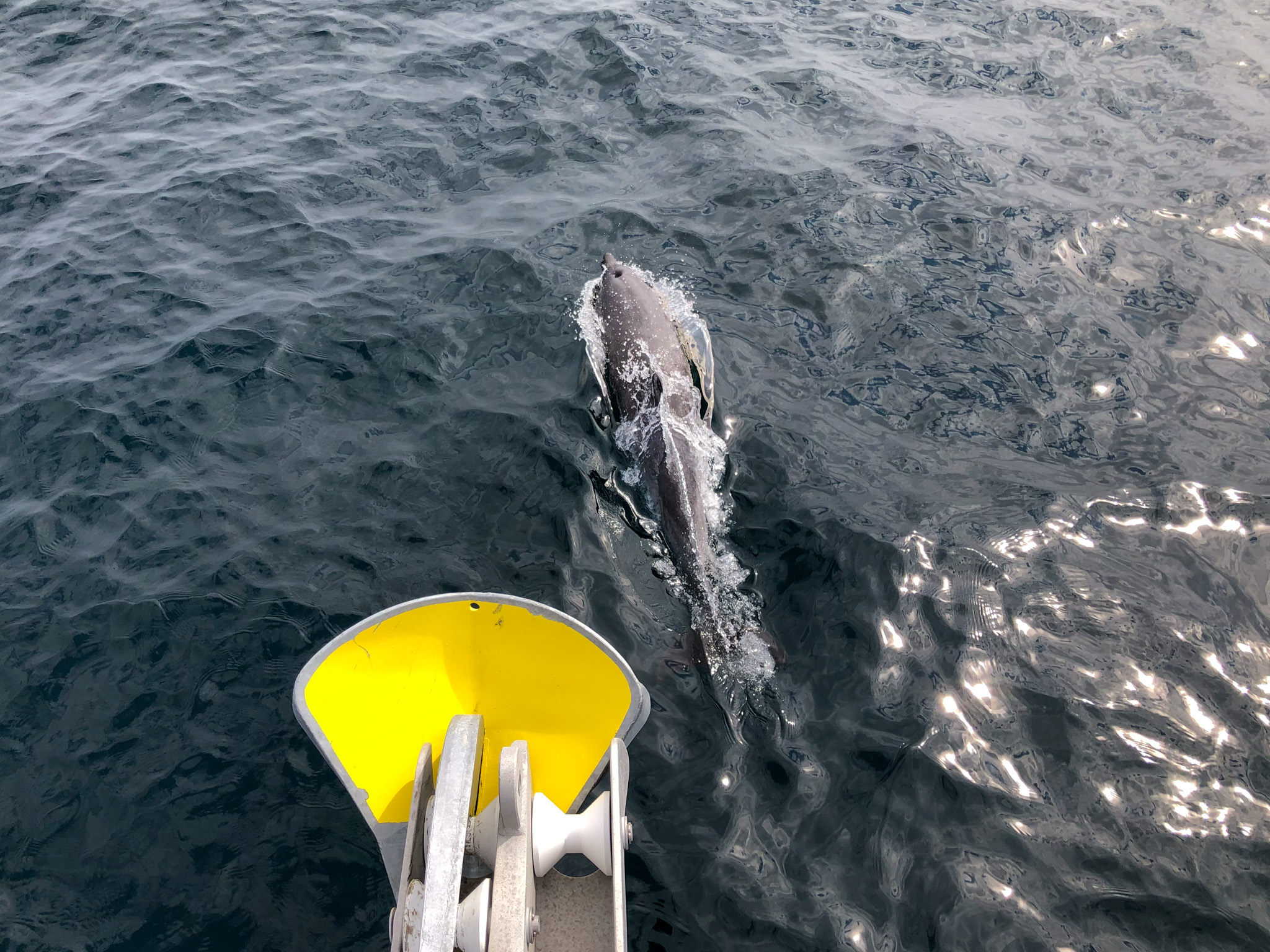
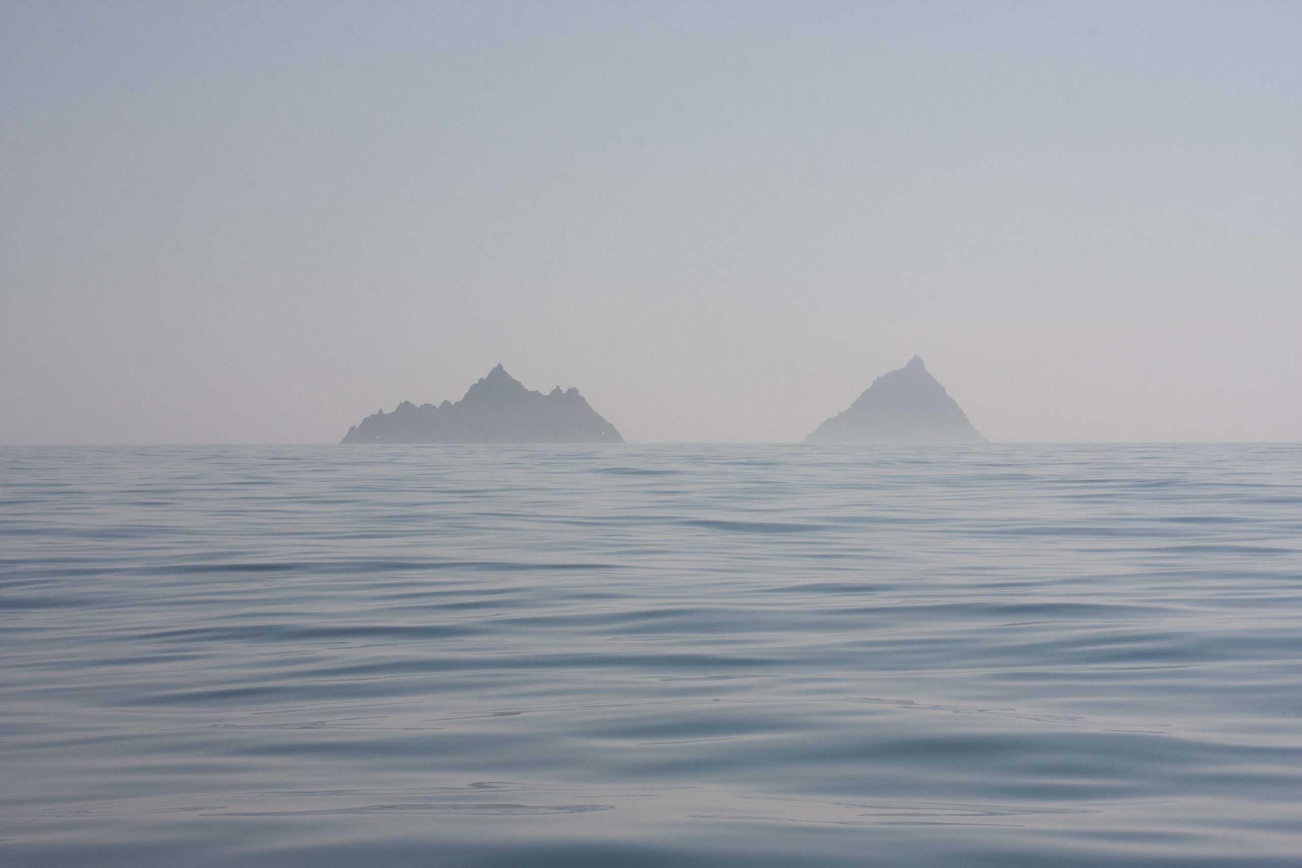
As evening drew in, the incredible sights we had seen on the way out were ensconced first by darkness and then by patches of fog so that even the light signals are taken away. Visual scans show nothing more than our own navigation lights effervescing in the dew around the rigging. It became a game of dodging rocky hazards on the screen and staring intently at radar echoes to make double dog sure we were interpreting them correctly.
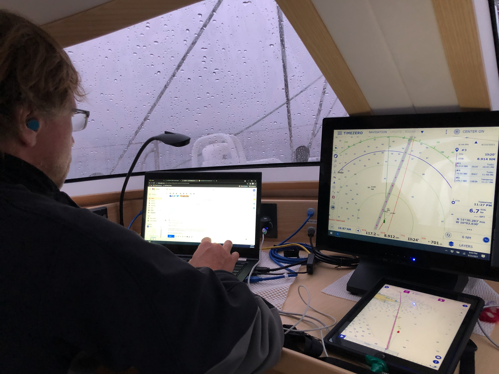
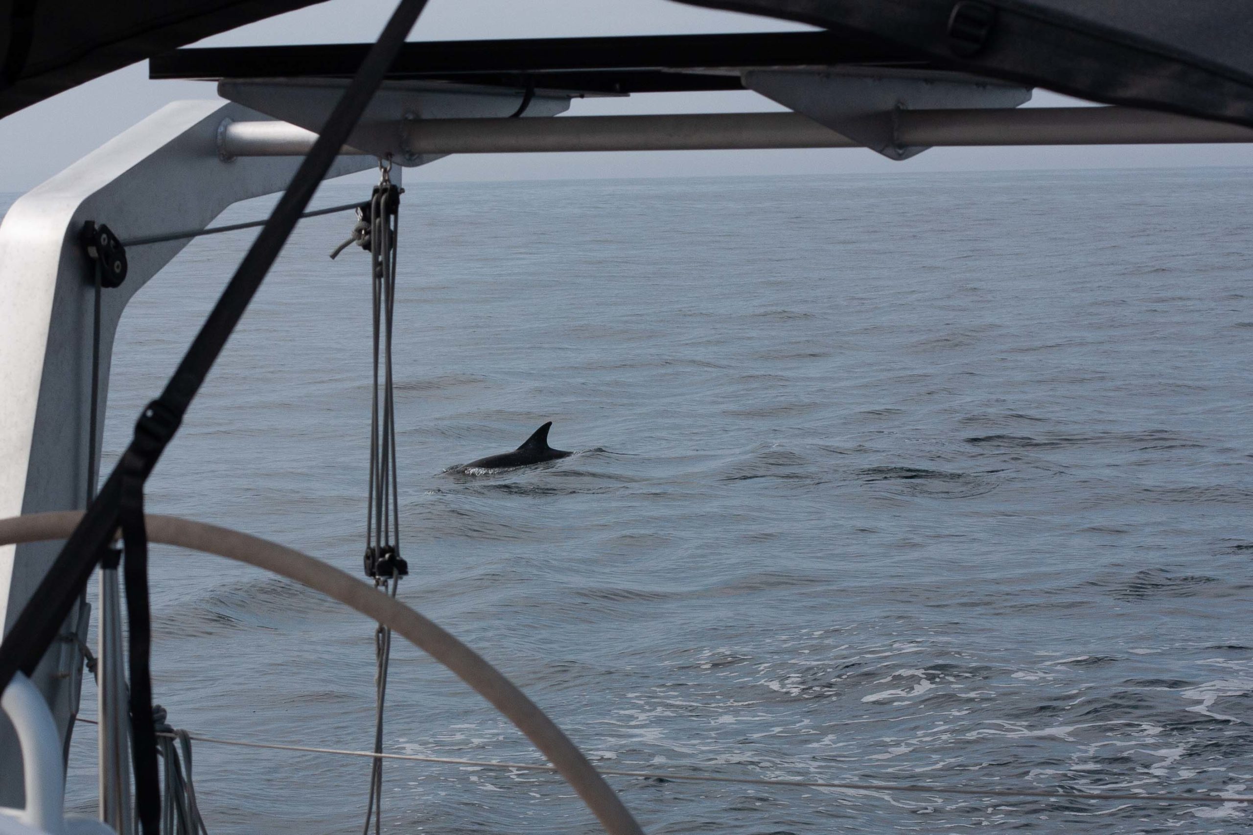
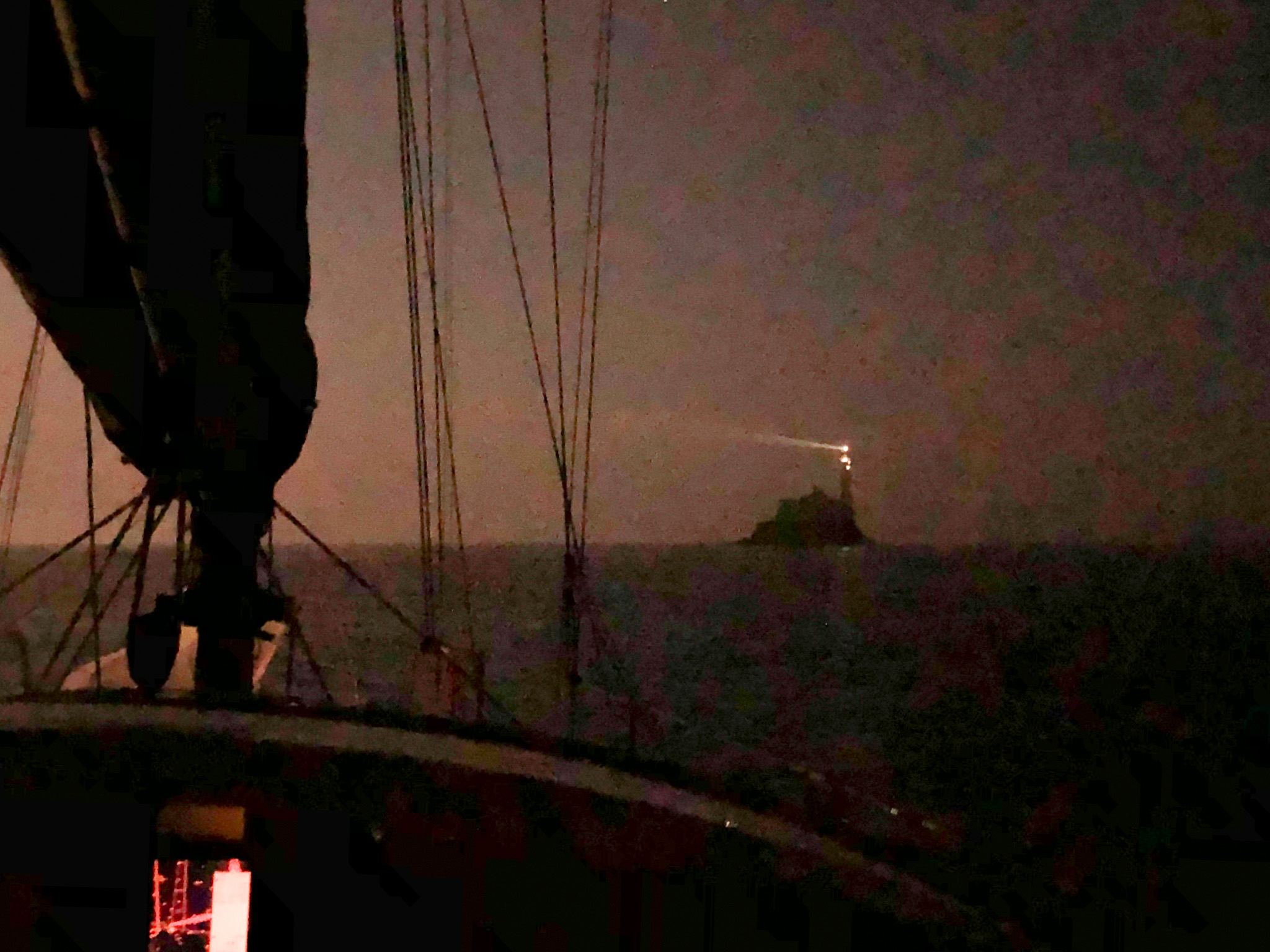
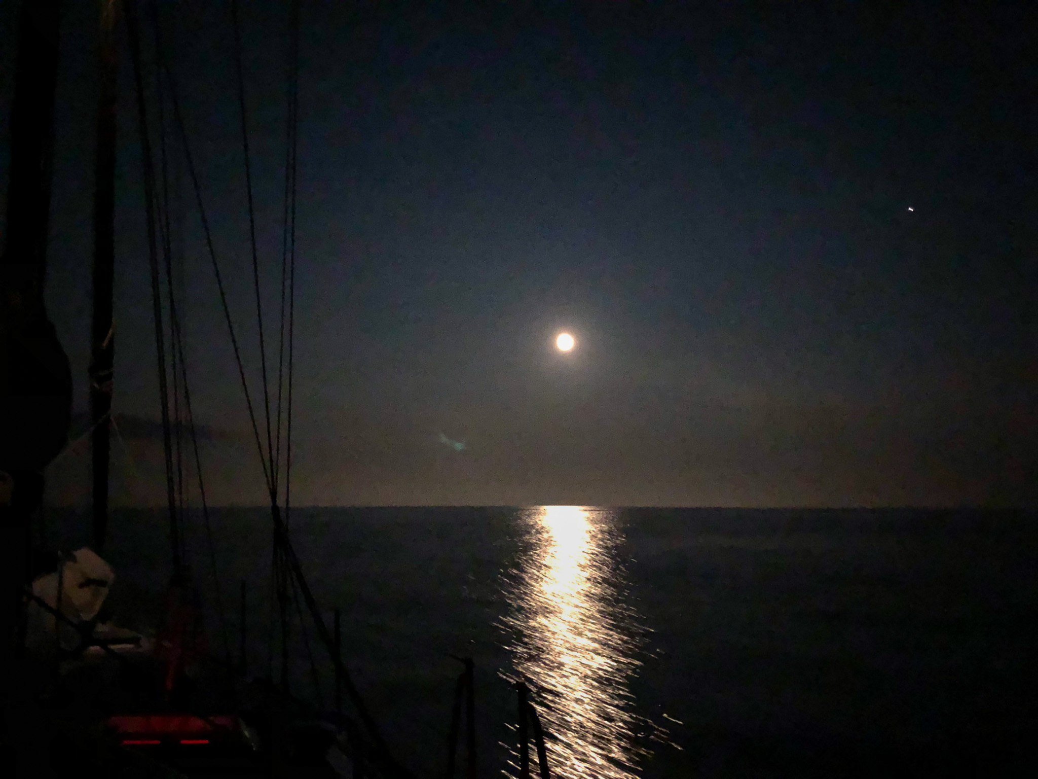
Wanting to take advantage of the calms, we steamed around the clock. Our track shows us sneaking past the Skelligs and the Bovine groups. Diana was on watch at midnight as we closed on the Fastnet again. Hoping to catch sight of it, she brings us to within a mile but then it became completely buried in the fog to the point the light disappeared. She beared away, but then just at the last moment as we crept past the clouds blew away to show the haunting light prominent off our stern quarter and an eery moon blowing through low clouds overhead. For the rest of the night, and it seemed like forty miles on or more, the intense light of the 5 second white flash reflected off our rear windows. It was the 23rd of August but Fall comes early in Ireland.
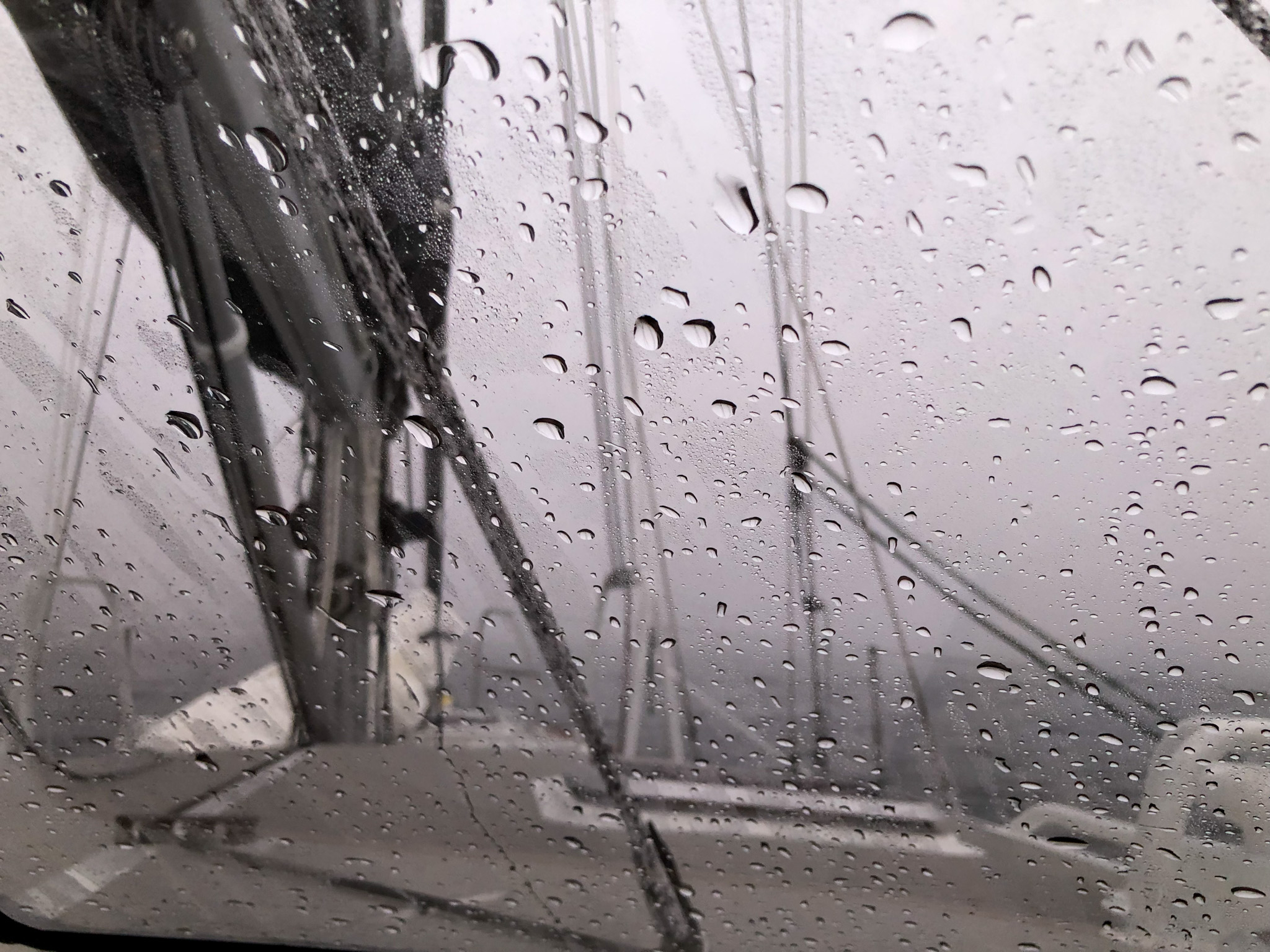
When the wind arrives, predictably it is in front of us again. What we thought would be reaching conditions is actually close hauled sails as we fight to stay north and slowly lose ground. We are headed across the Irish Sea, hoping to hook back around the corner of Land’s End, we end up just south of the Scilly Islands but a short tack back brings us into the southern approach right at day break. Diana drives us in while Randy sleeps (common theme developing here) and we drop the hook in St Mary’s harbor for a kip, as they say, and to go ashore.
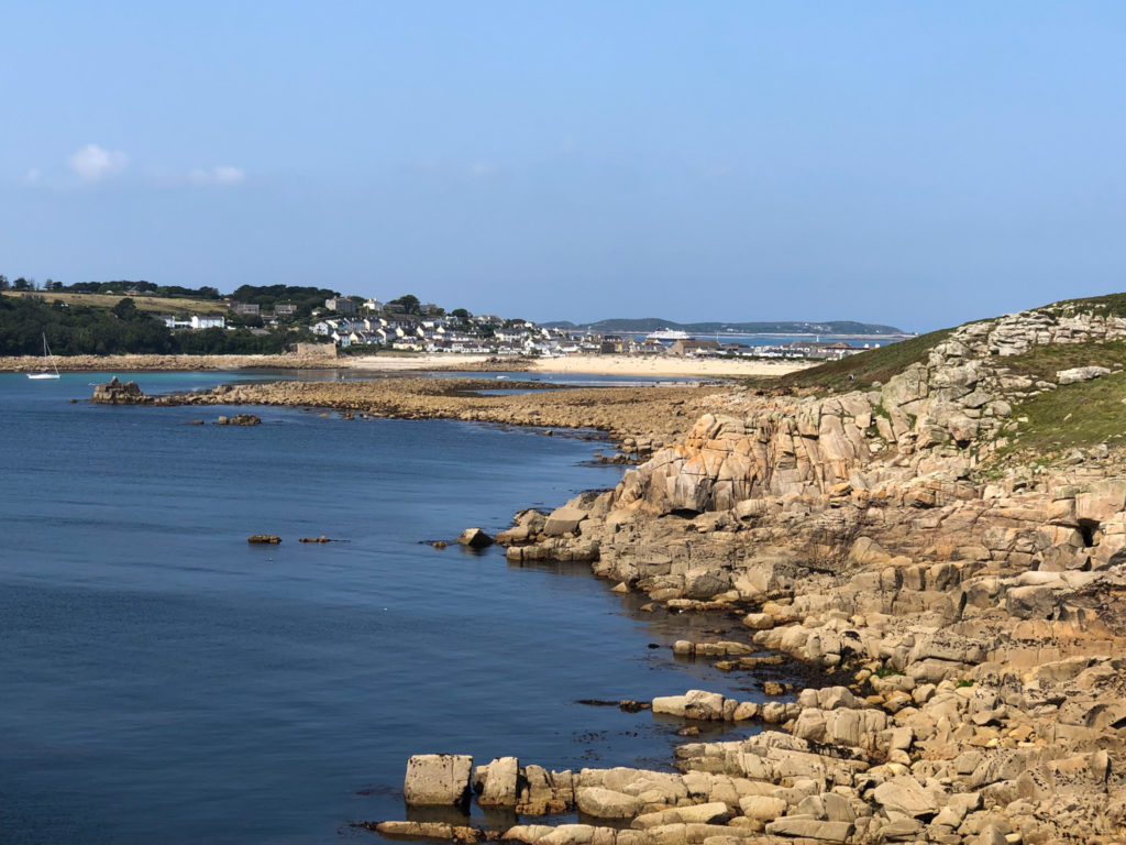
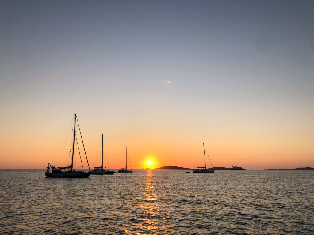
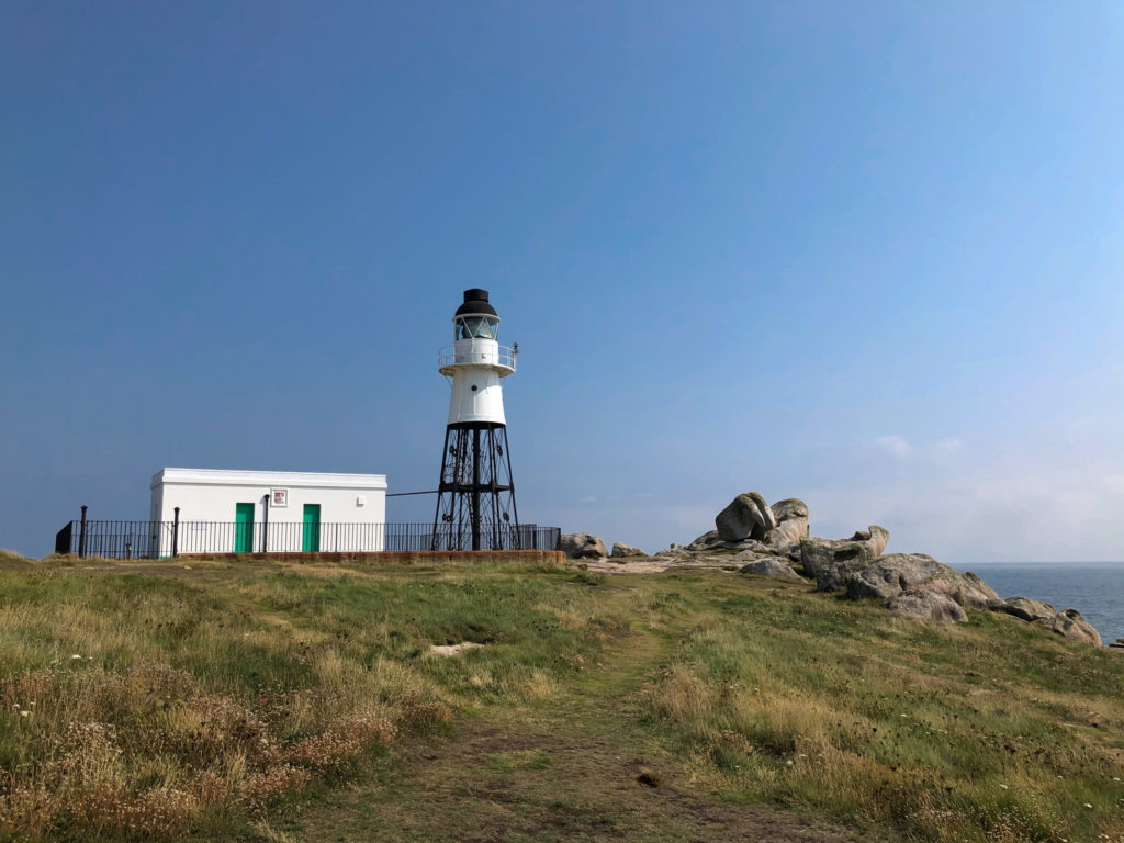
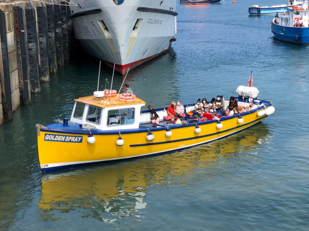
I (Randy here) hesitate to make the comparison but here it goes: The Isles of Scilly (pronounced “silly” like a Monty Python skit) are kind of like the Florida Keys of England, or maybe Martha’s Vineyard. More refined, more scones and less Senior Frog. I’ve never been to either, so it is easy to speculate. Anyway, touristy little islands where main England islanders like to vacation and where boaters from all over Europe like to visit. Also where diesel is cheap, but we didn’t learn about that until after we’d left. We spent a day exploring Hugh Town, the main settlement of the islands, and a peaceful night in its busy anchorage. Hover over the images below to see captions.
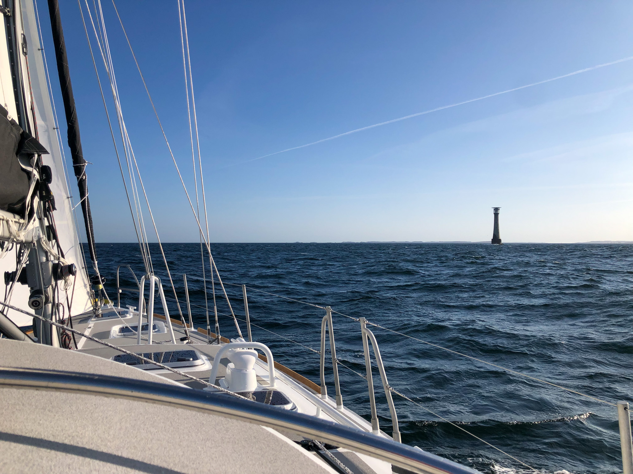
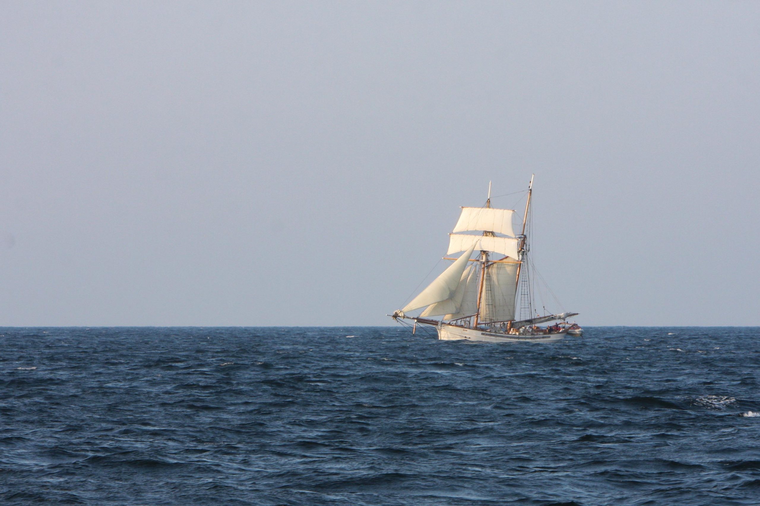
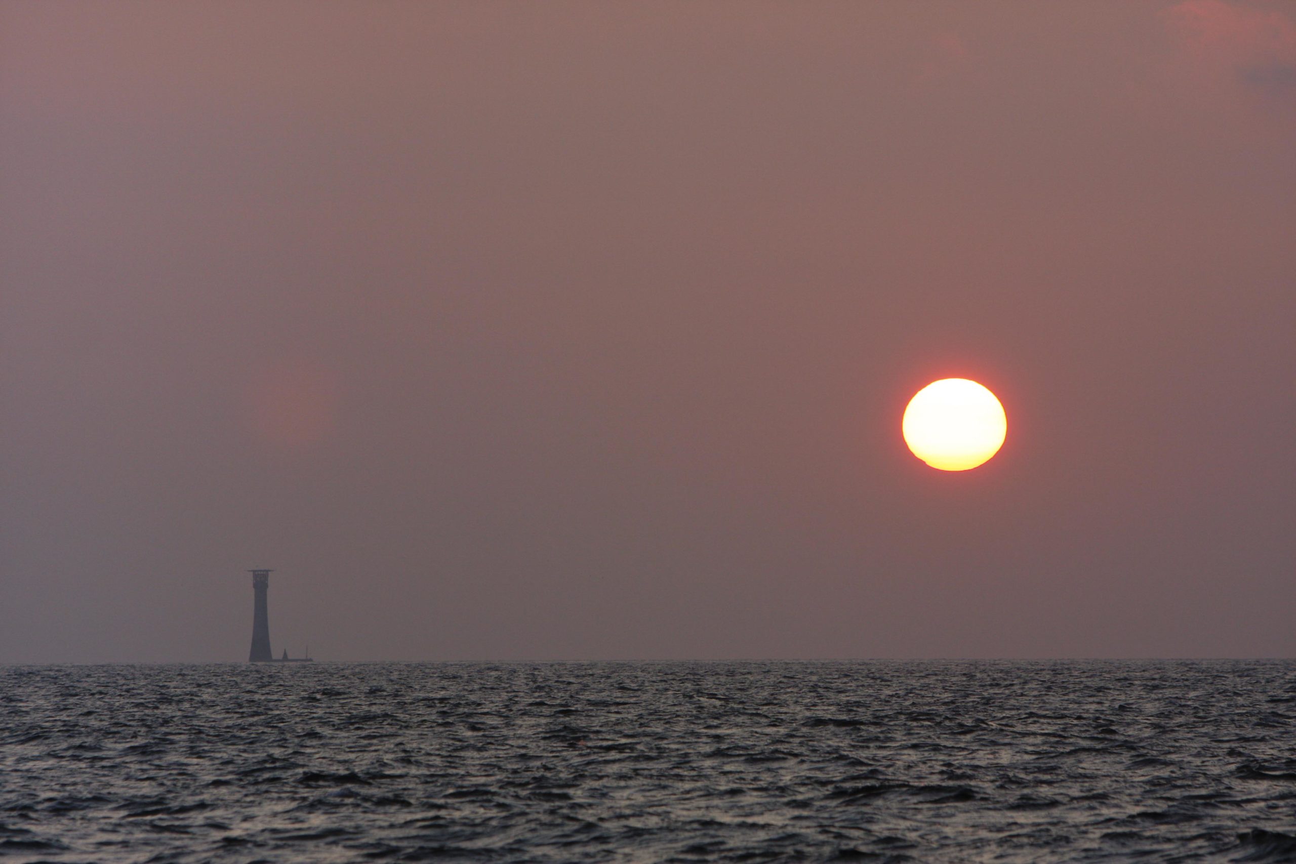
The next day, the 26th of August, eventually offered us 15-20 kts for a nice overnight passage close reaching north to “mainland” England. A pleasant afternoon and evening, first passing the gaff-rigged cutter “Anny of Charleston” port to port (opposite direction), followed a few hours later by the Wolf Rock light house, prominent as the sun dropped behind it.




Thanks for sharing some incredible pics and narrative for this chapter of your adventure!
Loving your blog so far! Stay happy & safe out there!! 🥰
Thanks for sharing your passage!
Thanks for sharing your story and pics. Great stuff!
Love each detail of your epic voyage. Wonderful words to accompany terrific photos! Thanks for continuing to share with all your vicarious fellow travelers!